Nett Lake | |
|---|---|
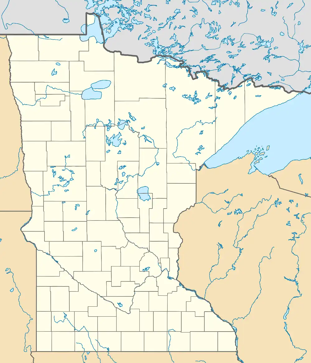 Nett Lake Location of the community of Nett Lake within Nett Lake Territory, Saint Louis County  Nett Lake Nett Lake (the United States) | |
| Coordinates: 48°06′53″N 93°04′52″W / 48.11472°N 93.08111°W | |
| Country | United States |
| State | Minnesota |
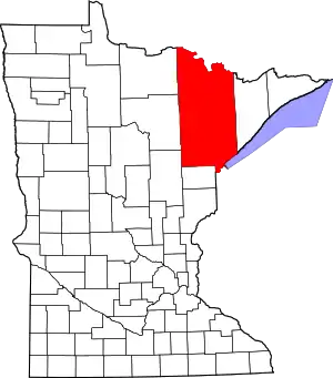
| County | Saint Louis |
| Area | |
| • Total | 1.72 sq mi (4.46 km2) |
| • Land | 1.72 sq mi (4.46 km2) |
| • Water | 0.00 sq mi (0.00 km2) |
| Elevation | 1,296 ft (395 m) |
| Population (2020) | |
| • Total | 230 |
| • Density | 133.64/sq mi (51.61/km2) |
| Time zone | UTC-6 (Central (CST)) |
| • Summer (DST) | UTC-5 (CDT) |
| ZIP codes | 55771 |
| Area code | 218 |
| GNIS feature ID | 2628823[2] |
Nett Lake is an unincorporated community and census-designated place (CDP) in Nett Lake Territory, Saint Louis County, Minnesota, United States; located on the shore of Nett Lake. As of the 2010 census, its population was 284.[3]
The community of Nett Lake is located 18 miles west of Orr, and 31 miles northwest of Cook.
Saint Louis County Road 23 (CR 23) (Nett Lake Road) serves as a main route in the community.
The unincorporated community of Nett Lake is located within the Nett Lake Indian Reservation (Bois Forte Indian Reservation).
Demographics
| Census | Pop. | Note | %± |
|---|---|---|---|
| 2020 | 230 | — | |
| U.S. Decennial Census[4] | |||
References
- ↑ "2020 U.S. Gazetteer Files". United States Census Bureau. Retrieved July 24, 2022.
- ↑ "Nett Lake, Minnesota". Geographic Names Information System. United States Geological Survey, United States Department of the Interior.
- ↑ "U.S. Census website". United States Census Bureau. Retrieved May 14, 2011.
- ↑ "Census of Population and Housing". Census.gov. Retrieved June 4, 2016.
- Rand McNally Road Atlas – 2007 edition – Minnesota entry
- Official State of Minnesota Highway Map – 2011/2012 edition
This article is issued from Wikipedia. The text is licensed under Creative Commons - Attribution - Sharealike. Additional terms may apply for the media files.