Nokaneng Airport | |||||||||||
|---|---|---|---|---|---|---|---|---|---|---|---|
| Summary | |||||||||||
| Operator | Civil Aviation Authority of Botswana | ||||||||||
| Serves | Nokaneng, Botswana | ||||||||||
| Elevation AMSL | 3,145 ft / 959 m | ||||||||||
| Coordinates | 19°40′50″S 22°11′57″E / 19.68056°S 22.19917°E | ||||||||||
| Map | |||||||||||
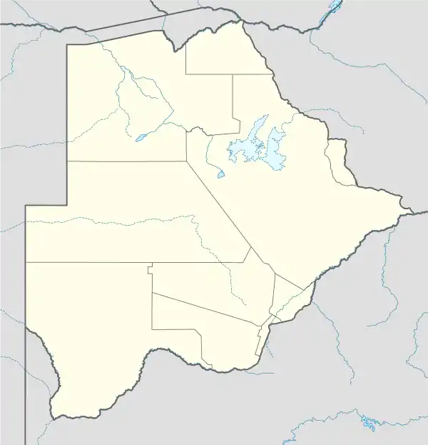 FBNN Location of airport in Botswana | |||||||||||
| Runways | |||||||||||
| |||||||||||
Nokaneng Airport (ICAO: FBNN) is an airport serving the village of Nokaneng on the western edge of the Okavango Delta in Botswana. The runway is 2 kilometres (1.2 mi) southeast of the village.
See also
References
- ↑ Airport information for Nokaneng Airport at Great Circle Mapper.
- ↑ Google Maps - Nokaneng
External links
- OpenStreetMap - Nokaneng
- OurAirports - Nokaneng
- Fallingrain - Nokaneng Airport
- Accident history for Nokaneng Airport at Aviation Safety Network
This article is issued from Wikipedia. The text is licensed under Creative Commons - Attribution - Sharealike. Additional terms may apply for the media files.