North Komelik, Arizona | |
|---|---|
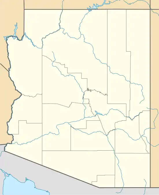 North Komelik Location within the state of Arizona  North Komelik North Komelik (the United States) | |
| Coordinates: 32°30′28″N 111°56′47″W / 32.50778°N 111.94639°W | |
| Country | United States |
| State | Arizona |
| County | Pinal |
| Elevation | 1,608 ft (490 m) |
| Time zone | UTC-7 (Mountain (MST)) |
| • Summer (DST) | UTC-7 (MST) |
| Area code | 520 |
| FIPS code | 04-50035 |
| GNIS feature ID | 24290 |
North Komelik, also historically known as Gu Komelik, Komalik, Komelih, Komlih, and Kukomalik, is a populated place situated in Pinal County, Arizona, United States.[2] The Board on Geographic Names originally designated the official name as Gu Komelik in 1947, before a final decision was made in 1978, changing the official name to the current North Komelik. It has an estimated elevation of 1,608 feet (490 m) above sea level.[1]
References
- 1 2 "Feature Detail Report for: North Komelik". Geographic Names Information System. United States Geological Survey, United States Department of the Interior.
- ↑ "North Komelik (in Pinal County, AZ) Populated Place Profile". AZ Hometown Locator. Retrieved January 2, 2017.
Municipalities and communities of Pinal County, Arizona, United States | ||
|---|---|---|
| Cities | 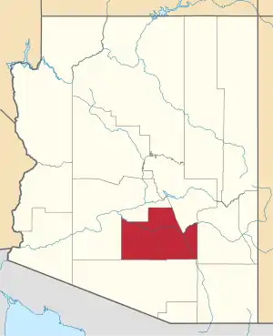 | |
| Towns | ||
| CDPs |
| |
| Populated places | ||
| Indian reservations | ||
| Ghost towns | ||
| Footnotes | ‡This populated place also has portions in an adjacent county or counties | |
This article is issued from Wikipedia. The text is licensed under Creative Commons - Attribution - Sharealike. Additional terms may apply for the media files.