Novohryhorivka
Новогригорівка | |
|---|---|
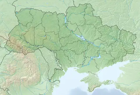 Novohryhorivka Location of Novohryhorivka within Ukraine 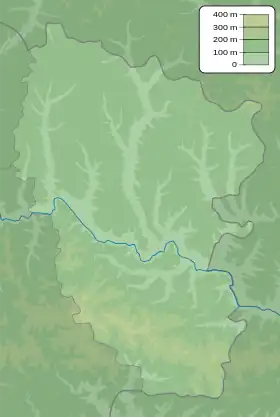 Novohryhorivka Novohryhorivka (Luhansk Oblast) | |
| Coordinates: 48°38′23″N 38°53′27″E / 48.639722°N 38.890833°E | |
| Country | Ukraine |
| Province | Luhansk Oblast |
| District | Alchevsk Raion |
| Founded | 1970 |
| Area | |
| • Total | 0.354 km2 (0.137 sq mi) |
| Elevation | 163 m (535 ft) |
| Population | |
| • Total | 42 |
| • Density | 120/km2 (310/sq mi) |
| Time zone | UTC+2 (EET) |
| • Summer (DST) | UTC+3 (EEST) |
| Postal code | 93724 |
| Area code | +380 6473 |
Novohryhorivka (Ukrainian: Новогригорівка; Russian: Новогригоровка) is a village in the Alchevsk Raion of Luhansk Oblast in eastern Ukraine, at about 32.04 kilometres (19.91 mi) west-northwest (WNW) from the centre of Luhansk city.
The settlement was taken under control of pro-Russian forces during the War in Donbass, that started in 2014.
References
- ↑ "All-Ukrainian population census". db.ukrcensus.gov.ua. State Statistics Service of Ukraine. Retrieved 9 September 2023.
This article is issued from Wikipedia. The text is licensed under Creative Commons - Attribution - Sharealike. Additional terms may apply for the media files.