Ntamugenga | |
|---|---|
 Ntamugenga | |
| Coordinates: 1°15′36″S 29°25′59″E / 1.260°S 29.433°E | |
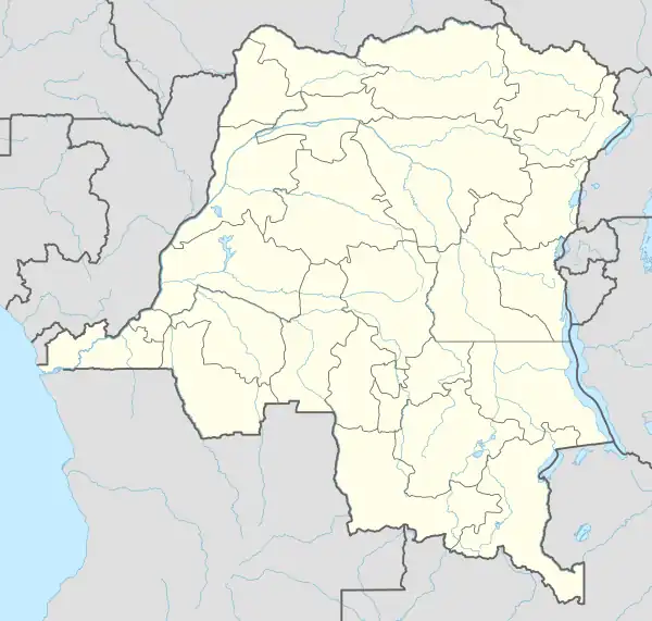
| Country | Democratic Republic of the Congo |
| Province | North Kivu |
| Territory | Rutshuru Territory |
| Time zone | UTC+2 (CAT) |
Ntamugenga is a location in North Kivu, Democratic Republic of the Congo. As of July 2012 it is under the control of the March 23 Movement.[1]
References
- ↑ Reuters (2012-07-08). "UPDATE 2-Congo rebels seize strategic eastern town". Reuters. Retrieved 2012-07-08.
{{cite web}}:|author=has generic name (help)
This article is issued from Wikipedia. The text is licensed under Creative Commons - Attribution - Sharealike. Additional terms may apply for the media files.