Nyírmihálydi | |
|---|---|
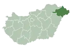
 Nyírmihálydi Location of Nyírmihálydi in Hungary | |
| Coordinates: 47°43′57″N 21°57′40″E / 47.73250°N 21.96111°E | |
| Country | Hungary |
| Region | Northern Great Plain |
| County | Szabolcs-Szatmár-Bereg |
| Area | |
| • Total | 25.5 km2 (9.8 sq mi) |
| Population (2011)[2] | |
| • Total | 1,995 |
| • Density | 78/km2 (200/sq mi) |
| Time zone | UTC+1 (CET) |
| • Summer (DST) | UTC+2 (CEST) |
| Postal code | 4363 |
| Area code | +36 74 |
| Website | www.nyirmihalydi.hu |
Nyírmihálydi is a village in Szabolcs-Szatmár-Bereg County, Hungary. As of the 2011 Hungarian census the village had a population of 1,995, an increase of 155 from 2001.[1]
References
- 1 2 Nyírmihálydi at the Hungarian Central Statistical Office (Hungarian).
- ↑ Nyírmihálydi at the Hungarian Central Statistical Office (Hungarian). 2011

This article is issued from Wikipedia. The text is licensed under Creative Commons - Attribution - Sharealike. Additional terms may apply for the media files.