Obererbach | |
|---|---|
.svg.png.webp) Coat of arms | |
Location of Obererbach within Westerwaldkreis district 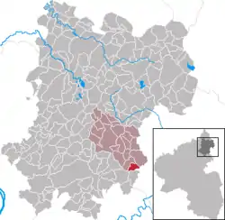 | |
 Obererbach 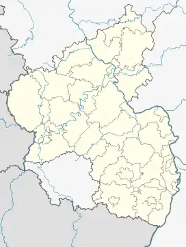 Obererbach | |
| Coordinates: 50°26′33″N 07°58′00″E / 50.44250°N 7.96667°E | |
| Country | Germany |
| State | Rhineland-Palatinate |
| District | Westerwaldkreis |
| Municipal assoc. | Wallmerod |
| Government | |
| • Mayor (2019–24) | Martin Schönfeld[1] |
| Area | |
| • Total | 2.60 km2 (1.00 sq mi) |
| Elevation | 240 m (790 ft) |
| Population (2021-12-31)[2] | |
| • Total | 497 |
| • Density | 190/km2 (500/sq mi) |
| Time zone | UTC+01:00 (CET) |
| • Summer (DST) | UTC+02:00 (CEST) |
| Postal codes | 56414 |
| Dialling codes | 06435 |
| Vehicle registration | WW |
| Website | www |
Obererbach is an Ortsgemeinde – a community belonging to a Verbandsgemeinde – in the Westerwaldkreis in Rhineland-Palatinate, Germany.
Geography
The community lies in the Westerwald between Montabaur and Limburg an der Lahn. It belongs to the Verbandsgemeinde of Wallmerod, a kind of collective municipality. Its seat is in the like-named town.
History
In 1290, Obererbach had its first documentary mention as Erlebach.
Politics
The municipal council is made up of 12 council members who were elected in a majority vote in a municipal election on 13 June 2004.
Economy and infrastructure
Running right through the community is Kreisstraße 160, which joins Bundesstraße 8 in Malmeneich. The nearest Autobahn interchange is Montabaur on the A 3 (Cologne–Frankfurt), some 7 km away. The nearest InterCityExpress stop is the railway station at Montabaur on the Cologne-Frankfurt high-speed rail line.
References
- ↑ Direktwahlen 2019, Westerwaldkreis, Landeswahlleiter Rheinland-Pfalz, accessed 9 August 2021.
- ↑ "Bevölkerungsstand 2021, Kreise, Gemeinden, Verbandsgemeinden" (in German). Statistisches Landesamt Rheinland-Pfalz. 2022.
External links
- Obererbach (in German)