Oberlin, Pennsylvania | |
|---|---|
 | |
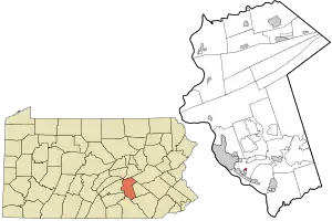 Location in Dauphin County and state of Pennsylvania. | |
| Country | United States |
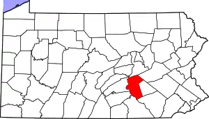
| State | Pennsylvania |
| County | Dauphin |
| Township | Swatara |
| Area | |
| • Total | 0.13 sq mi (0.34 km2) |
| • Land | 0.13 sq mi (0.34 km2) |
| • Water | 0.00 sq mi (0.00 km2) |
| Elevation | 570 ft (170 m) |
| Population | |
| • Total | 670 |
| • Density | 5,153.85/sq mi (1,992.85/km2) |
| Time zone | UTC-5 (Eastern (EST)) |
| • Summer (DST) | UTC-4 (EDT) |
| ZIP code | 17113 |
| FIPS code | 42-56264 |
| GNIS feature ID | 1182858 |
Oberlin is an unincorporated community and census-designated place (CDP) located in Swatara Township, Dauphin County, Pennsylvania, United States. The community was part of the census-designated place of Bressler-Enhaut-Oberlin, before it was split into three separate CDPs for the 2010 census. As of the 2010 census, the population was 588.[3]
Demographics
| Census | Pop. | Note | %± |
|---|---|---|---|
| 2020 | 670 | — | |
| U.S. Decennial Census[4] | |||
References
- ↑ "ArcGIS REST Services Directory". United States Census Bureau. Retrieved October 12, 2022.
- ↑ "Census Population API". United States Census Bureau. Retrieved Oct 12, 2022.
- ↑ "Geographic Identifiers: 2010 Demographic Profile Data (G001): Oberlin CDP, Pennsylvania". U.S. Census Bureau, American Factfinder. Archived from the original on February 13, 2020. Retrieved December 22, 2015.
- ↑ "Census of Population and Housing". Census.gov. Retrieved June 4, 2016.
This article is issued from Wikipedia. The text is licensed under Creative Commons - Attribution - Sharealike. Additional terms may apply for the media files.