Okazapamba | |
|---|---|
Settlement | |
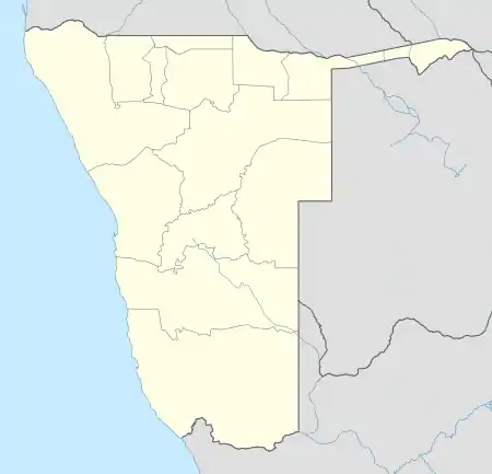 Okazapamba Location in Namibia | |
| Coordinates: 21°13′28″S 18°59′04″E / 21.224485°S 18.984444°E | |
| Country | |
| Region | Omaheke Region |
| Constituency | Otjinene Constituency |
| Elevation | 1,092 m (3,583 ft) |
| Population (2008) | |
| • Total | 500 |
| Time zone | UTC+2 (South African Standard Time) |
| Area code | +66 |
Okazapamba is a settlement in the Otjinene Constituency in the Omaheke Region of eastern Namibia.[1][2] It is mostly inhabited by Herero people and a minor group of the San people. The villagers' economic activities concentrate around cattle breeding, as "Herero people are a pastoral cattle breeding nation".[3][4]
References
- ↑ Electoral Commission of Namibia: Polling Station of Namibia, 2009, p64
- ↑ Constituencies of Namibia, 2004
- ↑ "Herero People, 2010". Archived from the original on 2012-11-03. Retrieved 2010-09-28.
- ↑ San People, 2010
External links
- Community Development and HIV/AIDS Grants: U. S. Ambassador Awards
This article is issued from Wikipedia. The text is licensed under Creative Commons - Attribution - Sharealike. Additional terms may apply for the media files.