Orvanne | |
|---|---|
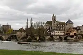
Part of Moret-Loing-et-Orvanne | |
 The Loing | |
Location of Orvanne | |
 Orvanne 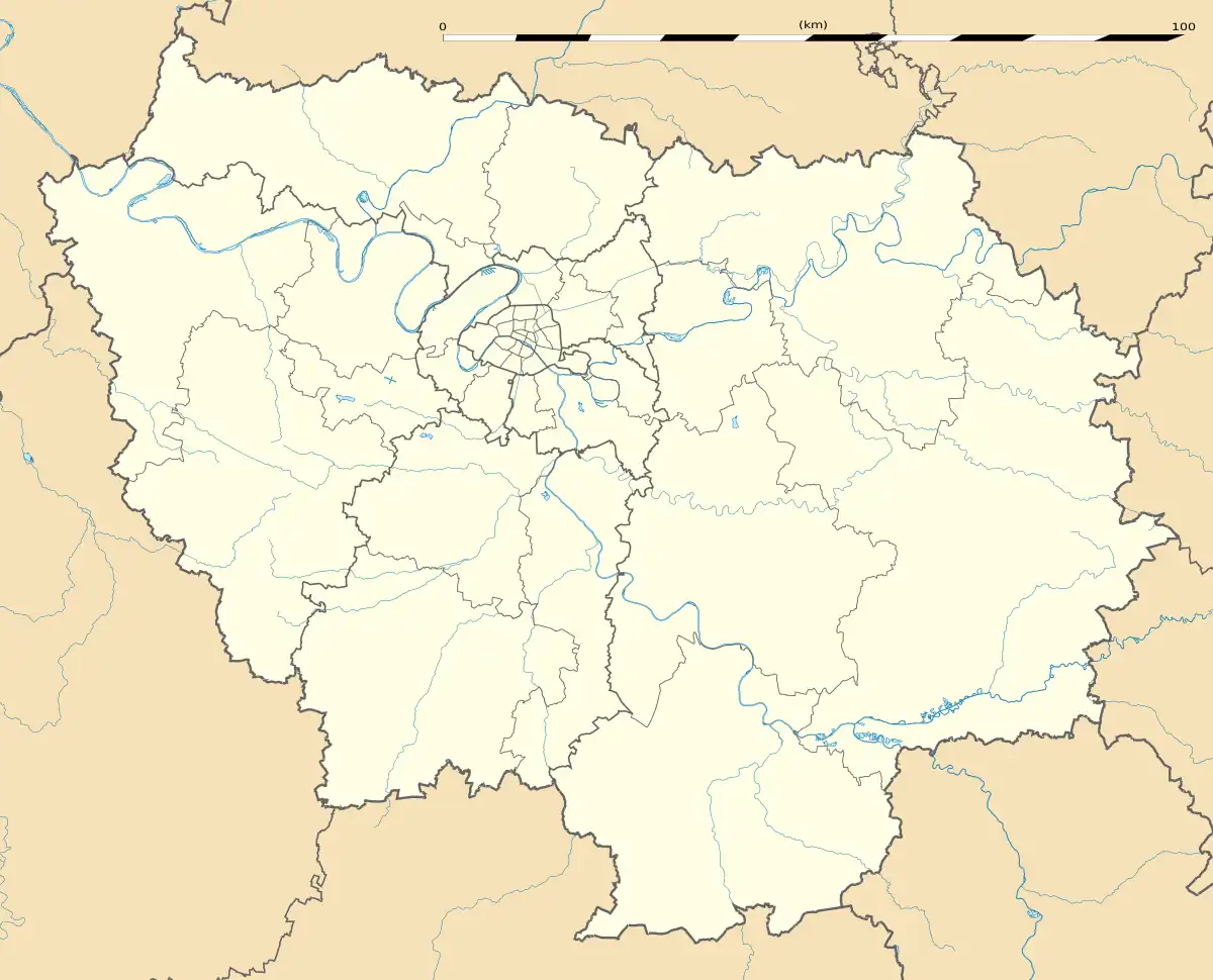 Orvanne | |
| Coordinates: 48°22′25″N 2°48′51″E / 48.3736°N 2.8142°E | |
| Country | France |
| Region | Île-de-France |
| Department | Seine-et-Marne |
| Arrondissement | Fontainebleau |
| Canton | Montereau-Fault-Yonne |
| Commune | Moret-Loing-et-Orvanne |
| Area 1 | 16.75 km2 (6.47 sq mi) |
| Population (2015) | 6,795 |
| • Density | 410/km2 (1,100/sq mi) |
| Time zone | UTC+01:00 (CET) |
| • Summer (DST) | UTC+02:00 (CEST) |
| Postal code | 77250 |
| 1 French Land Register data, which excludes lakes, ponds, glaciers > 1 km2 (0.386 sq mi or 247 acres) and river estuaries. | |
Orvanne (French pronunciation: [ɔʁvan] ⓘ) was a short-lived commune in the department of Seine-et-Marne in north-central France.[1] The commune was established on 1 January 2015 by merger of the former communes of Écuelles and Moret-sur-Loing.[2] On 1 January 2016, it was merged into the new commune Moret-Loing-et-Orvanne.[3]
See also
References
- ↑ Commune de Orvanne (79185), INSEE.
- ↑ Arrêté préfectoral 2 December 2014 (in French)
- ↑ Arrêté préfectoral 29 October 2015 (in French)
This article is issued from Wikipedia. The text is licensed under Creative Commons - Attribution - Sharealike. Additional terms may apply for the media files.