| Oswald Maitland, New South Wales | |
|---|---|
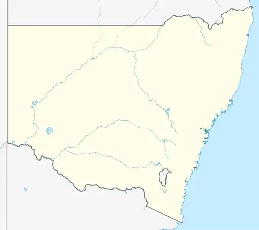  Oswald | |
| Coordinates | 32°41′24″S 151°25′4″E / 32.69000°S 151.41778°E |
| Population | 88 (SAL 2016)[1][2] |
| Postcode(s) | 2321 |
| Time zone | AEST (UTC+10) |
| • Summer (DST) | AEDT (UTC+11) |
| Location | |
| LGA(s) | City of Maitland[3] |
| Region | Hunter[3] |
| County | Northumberland[4] |
| Parish | Branxton[4] |
| State electorate(s) | Maitland[5] |
| Federal division(s) | Hunter[6] |
Oswald is a suburb of the City of Maitland local government area in the Hunter Region of New South Wales, Australia, approximately 15 km (9 mi) from the Maitland CBD.[3][4][7]
References
- ↑ Australian Bureau of Statistics (27 June 2017). "Oswald (suburb and locality)". Australian Census 2016.
- ↑ Australian Bureau of Statistics (27 June 2017). "Oswald (suburb and locality)". Australian Census 2016 QuickStats. Retrieved 28 June 2022.
- 1 2 3 "Suburb Search - Local Council Boundaries - Hunter (HT) - Maitland City Council". New South Wales Division of Local Government. Archived from the original on 30 October 2013. Retrieved 17 August 2013.
- 1 2 3 "Oswald". Geographical Names Register (GNR) of NSW. Geographical Names Board of New South Wales. Retrieved 17 August 2013.
- ↑ "Maitland". New South Wales Electoral Commission. Retrieved 23 November 2019.
- ↑ "Hunter". Australian Electoral Commission. Archived from the original on 5 October 2013. Retrieved 17 August 2013.
- ↑ "Oswald". Land and Property Management Authority - Spatial Information eXchange. New South Wales Land and Property Information. Retrieved 17 August 2013.
This article is issued from Wikipedia. The text is licensed under Creative Commons - Attribution - Sharealike. Additional terms may apply for the media files.