Pan Tak, Arizona | |
|---|---|
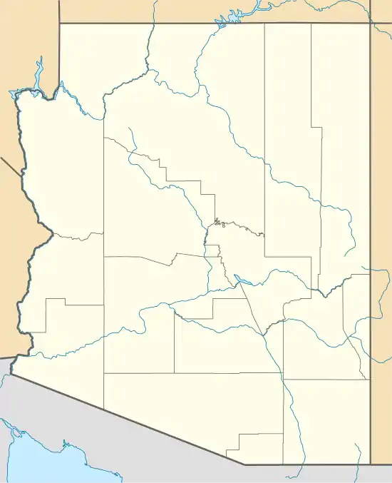 Pan Tak Location within the state of Arizona  Pan Tak Pan Tak (the United States) | |
| Coordinates: 32°00′42″N 111°33′55″W / 32.01167°N 111.56528°W | |
| Country | United States |
| State | Arizona |
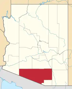
| County | Pima |
| Elevation | 3,412 ft (1,040 m) |
| Time zone | UTC-7 (Mountain (MST)) |
| • Summer (DST) | UTC-7 (MST) |
| ZIP codes | 85634 |
| Area code | 520 |
| FIPS code | 04-52440 |
| GNIS feature ID | 24551 |
Pan Tak is a populated place situated in Pima County, Arizona, United States.[2] Throughout its existence, it has been known by a number of names, including Cajote Spring, Coyote, Coyote Indian Village, Coyote Spring, Coyote Village, Coyotes Spring, Ojo de los Coyotes, and Pantak. Pan Tak become the official name as a result of a Board on Geographic Names decision in 1941. The name comes from the O'odham, meaning "coyote sits". It has an estimated elevation of 3,412 feet (1,040 m) above sea level.[1]
References
- 1 2 "Feature Detail Report for: Pan Tak". Geographic Names Information System. United States Geological Survey, United States Department of the Interior.
- ↑ "Pan Tak (in Pima County, AZ) Populated Place Profile". AZ Hometown Locator. Retrieved January 17, 2017.
This article is issued from Wikipedia. The text is licensed under Creative Commons - Attribution - Sharealike. Additional terms may apply for the media files.