Pano Koutrafas | |
|---|---|
village | |
| Πάνω Κουτραφάς (Greek) Kurtboğan (Turkish) | |
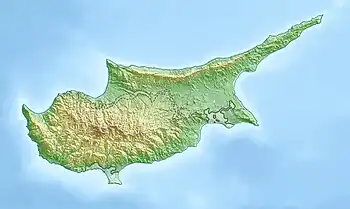 Pano Koutrafas Location in Cyprus | |
| Coordinates: 35°5′34″N 32°59′57″E / 35.09278°N 32.99917°E | |
| Country | |
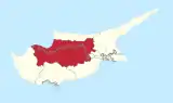
| District | Nicosia District |
| Population (2001)[1] | |
| • Total | 0 |
| Time zone | UTC+2 (EET) |
| • Summer (DST) | UTC+3 (EEST) |
Pano Koutrafas (Greek: Πάνω Κουτραφάς, Turkish: Kurtboğan) is a small village in the Nicosia District of Cyprus, 3 km south of Kato Koutrafas. Before 1974, the village was inhabited almost exclusively by Turkish Cypriots. [2] Today the village is largely uninhabited.
References
- ↑ Census 2001
- ↑ "Archived copy". Archived from the original on 2007-10-28. Retrieved 2009-06-14.
{{cite web}}: CS1 maint: archived copy as title (link)
This article is issued from Wikipedia. The text is licensed under Creative Commons - Attribution - Sharealike. Additional terms may apply for the media files.