Papín | |
|---|---|
Municipality | |
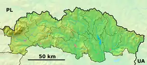 Papín Location of Papín in the Prešov Region 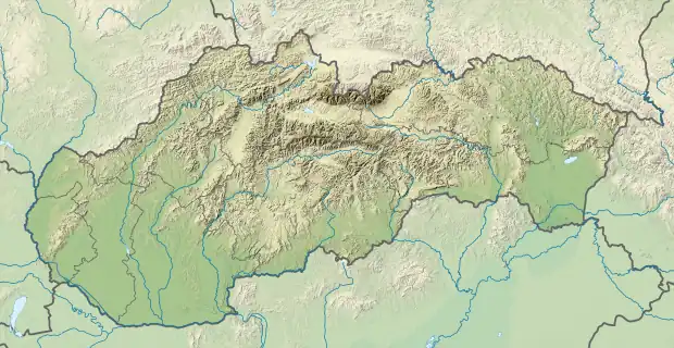 Papín Location of Papín in Slovakia | |
| Coordinates: 49°06′N 22°04′E / 49.100°N 22.067°E | |
| Country | |
| Region | Prešov |
| District | Humenné |
| Area | |
| • Total | 25.87[1] km2 (9.99[1] sq mi) |
| Elevation | 260[2] m (850[2] ft) |
| Population (2021) | |
| • Total | 891[3] |
| Time zone | UTC+1 (CET) |
| • Summer (DST) | UTC+2 (CEST) |
| Postal code | 067 33[2] |
| Area code | +421 57[2] |
| Car plate | HE |
| Website | www |
Papín is a village and municipality in Humenné District in the Prešov Region of north-east Slovakia.
History
Geography
References
- 1 2 "Hustota obyvateľstva - obce [om7014rr_ukaz: Rozloha (Štvorcový meter)]". www.statistics.sk (in Slovak). Statistical Office of the Slovak Republic. 2022-03-31. Retrieved 2022-03-31.
- 1 2 3 4 "Základná charakteristika". www.statistics.sk (in Slovak). Statistical Office of the Slovak Republic. 2015-04-17. Retrieved 2022-03-31.
- ↑ "Počet obyvateľov podľa pohlavia - obce (ročne)". www.statistics.sk (in Slovak). Statistical Office of the Slovak Republic. 2022-03-31. Retrieved 2022-03-31.
External links
- Official website

- https://web.archive.org/web/20070927201701/http://www.statistics.sk/mosmis/eng/prvav2.jsp?txtUroven=440702&lstObec=520624&Okruh=zaklad
This article is issued from Wikipedia. The text is licensed under Creative Commons - Attribution - Sharealike. Additional terms may apply for the media files.