Paso del Sapo | |
|---|---|
Municipality and village | |
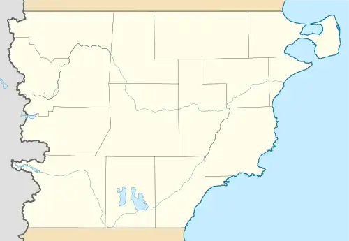 Paso del Sapo Location within Chubut Province | |
| Coordinates: 42°44′0″S 069°36′0″W / 42.73333°S 69.60000°W | |
| Country | |
| Province | Chubut Province |
| Department | Languiñeo Department |
| Created | 15 June 1955 |
| Time zone | UTC−3 (ART) |
| Postal code | 9201 |
| Area code | 02945 479-XXX |
| Climate | BSk |
Paso del Sapo is a village and municipality in Chubut Province in southern Argentina.[1] Its boundaries were established in 1995.[2] The Paso del Sapo Formation is named after the village.
References
- ↑ "Paso del Sapo" (in Spanish). Ministerio del Interior. Archived from the original on 14 August 2015.
- ↑ "Visto: El Expediente nº 01545-GB-95, el Artículo 145º de la Constitución Provincial" (PDF) (in Spanish). Ministerio del Interior. 8 August 1995. Archived (PDF) from the original on 14 August 2015.
Gallery
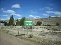 Sign on entering Paso del Sapo
 View of Paso del Sapo
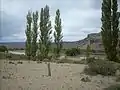 The Chubut River above Paso del Sapo
This article is issued from Wikipedia. The text is licensed under Creative Commons - Attribution - Sharealike. Additional terms may apply for the media files.