Pattanam | |
|---|---|
Suburb | |
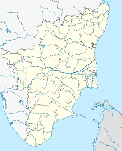 Pattanam Location in Tamil Nadu, India  Pattanam Pattanam (India) | |
| Coordinates: 10°58′47″N 77°03′18″E / 10.97972°N 77.05500°E | |
| Country | |
| State | Tamil Nadu |
| Region | Kongu Nadu |
| District | Coimbatore |
| Government | |
| • Body | Pattanam panchayat |
| Area | |
| • Total | 10.54 km2 (4.07 sq mi) |
| Population (2011)[1] | |
| • Total | 9,196 |
| • Density | 870/km2 (2,300/sq mi) |
| Languages | |
| • Official | Tamil, |
| Time zone | UTC+5:30 (IST) |
Pattanam is a census town and a suburb in Coimbatore district in the Indian state of Tamil Nadu.[2]
See also
References
- 1 2 "Coimbatore 2011 District Census Handbook Page No. 28" (PDF).
- ↑ "Census of India - 2011 - Pattanam". Retrieved 13 September 2021.
This article is issued from Wikipedia. The text is licensed under Creative Commons - Attribution - Sharealike. Additional terms may apply for the media files.