| Peary Nunatak | |
|---|---|
 Peary Nunatak | |
| Highest point | |
| Elevation | 812 m (2,664 ft)[1] |
| Listing | List of mountains in Greenland |
| Coordinates | 64°45′12″N 41°05′30″W / 64.7533°N 41.0917°W[1] |
| Geography | |
| Location | King Christian IX Land, Greenland |
| Climbing | |
| First ascent | Possibly unclimbed |
Peary Nunatak or Peary's Nunatak[2] is a nunatak in King Christian IX Land, Sermersooq Municipality, Greenland.
Geography
Peary Nunatak is a nunatak located 60 kilometres (37 mi) southwest of Comanche Bay. It rises south of Whymper Nunatak and northwest of Ravna Nunatak, about 10 kilometres (6.2 mi) west of the seashore.[1] Its elevation is 812 metres (2,664 ft).[1]
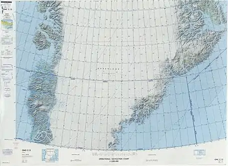 Defense Mapping Agency map of Greenland sheet. |
See also
References
- 1 2 3 4 "Peary Nunatak". Mapcarta. Retrieved 8 July 2016.
- ↑ Fridtjof Nansen, The First Crossing of Greenland ii. 18
This article is issued from Wikipedia. The text is licensed under Creative Commons - Attribution - Sharealike. Additional terms may apply for the media files.