Pedapudi | |
|---|---|
village | |
 | |
.svg.png.webp)  Pedapudi Location in Andhra Pradesh, India 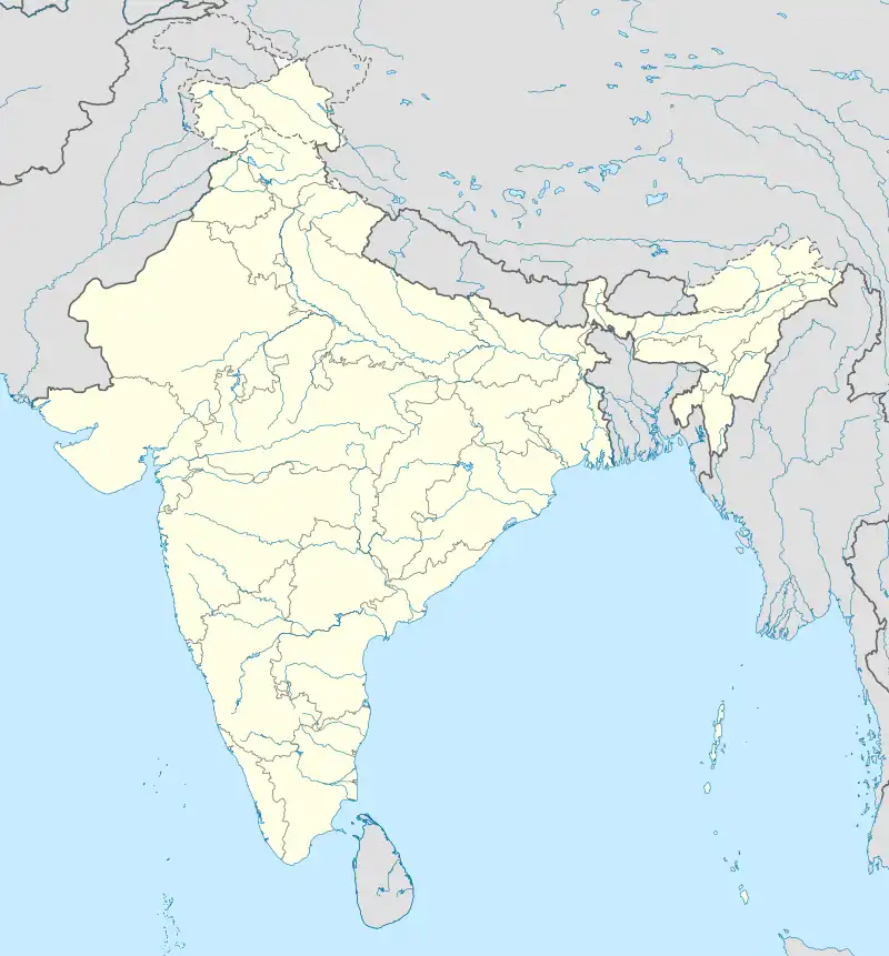 Pedapudi Pedapudi (India) | |
| Coordinates: 16°58′00″N 82°10′00″E / 16.9667°N 82.1667°E | |
| Country |  India India |
| State | Andhra Pradesh |
| District | Kakinada |
| Talukas | Pedapudi |
| Elevation | 7 m (23 ft) |
| Languages | |
| • Official | Telugu |
| Time zone | UTC+5:30 (IST) |
| PIN | |
| Vehicle Registration | AP05 (Former) AP39 (from 30 January 2019)[1] |
Pedapudi or Peddapudi is a village and a Mandal in Kakinada district in the state of Andhra Pradesh in India.[2]
Geography
Peddapudi is located at 16°58′00″N 82°10′00″E / 16.9667°N 82.1667°E.[3] [4] It has an average elevation of 7 meters (26 feet).
Important facts about Pedapudi
It is a typical Kakinada beautiful pastoral village with full of paddy fields as far as eye can see. It is a nodal Mandal centre and 18 surrounding villages come under it.
Major landmarks
- Ramalayam/market area/Bus station
- Kama cheruvu
- Gandhi memorial high school
- Gandhi bomma centre
- Police station
- State bank of India
- Government hospital
- Chandrika Cloth stores
See also
References
- ↑ "New 'AP 39' code to register vehicles in Andhra Pradesh launched". The New Indian Express. Vijayawada. 31 January 2019. Retrieved 9 June 2019.
- ↑ "Mandal wise list of villages in East Godavari district" (PDF). Chief Commissioner of Land Administration. National Informatics Centre. Archived from the original (PDF) on 21 January 2015. Retrieved 8 March 2016.
- ↑ Falling Genomics.Peddapudi
- ↑ "Peddapudi Pincode". citypincode.in. Retrieved 28 February 2014.
This article is issued from Wikipedia. The text is licensed under Creative Commons - Attribution - Sharealike. Additional terms may apply for the media files.