Pereiro de Palhacana | |
|---|---|
 Coat of arms | |
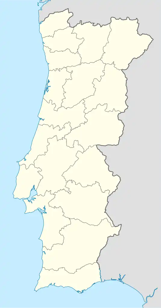 Pereiro de Palhacana Location in Portugal | |
| Coordinates: 39°02′N 9°06′W / 39.033°N 9.100°W | |
| Country | |
| Region | Centro |
| Intermunic. comm. | Oeste |
| District | Lisbon |
| Municipality | Alenquer |
| Area | |
| • Total | 9.12 km2 (3.52 sq mi) |
| Population (2001) | |
| • Total | 591 |
| • Density | 65/km2 (170/sq mi) |
| Time zone | UTC±00:00 (WET) |
| • Summer (DST) | UTC+01:00 (WEST) |
Pereiro de Palhacana (Portuguese pronunciation: [pɨˈɾɐjɾu ðɨ pɐʎɐˈkɐnɐ]) is a former civil parish, located in the municipality of Alenquer, in western Portugal. In 2013, the parish merged into the new parish Ribafria e Pereiro de Palhacana.[1] It covers 9.12 km2 (3.52 sq mi) in area, with 591 inhabitants as of 2001.[2]
References
- ↑ Diário da República. "Law nr. 11-A/2013, page 552 8" (PDF) (in Portuguese). Retrieved 16 July 2014.
- ↑ Instituto Nacional de Estatística (Portugal)
This article is issued from Wikipedia. The text is licensed under Creative Commons - Attribution - Sharealike. Additional terms may apply for the media files.