Perlsdorf | |
|---|---|
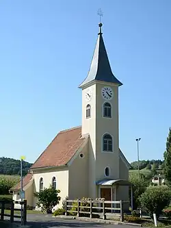 Chapel in Perlsdorf | |
 Coat of arms | |
 Perlsdorf Location within Austria | |
| Coordinates: 46°54′00″N 15°49′00″E / 46.90000°N 15.81667°E | |
| Country | Austria |
| State | Styria |
| District | Südoststeiermark |
| Government | |
| • Mayor | Franz Hermann (ÖVP) |
| Area | |
| • Total | 5.62 km2 (2.17 sq mi) |
| Elevation | 299 m (981 ft) |
| Population (1 January 2016)[1] | |
| • Total | 351 |
| • Density | 62/km2 (160/sq mi) |
| Time zone | UTC+1 (CET) |
| • Summer (DST) | UTC+2 (CEST) |
| Postal code | 8342 |
| Area code | +43 3151 |
| Vehicle registration | FB |
| Website | www.perlsdorf. steiermark.at |
Perlsdorf is a former municipality in the district of Südoststeiermark in the Austrian state of Styria. Since the 2015 Styria municipal structural reform, it is part of the Paldau municipality.[2]
Population
| Year | Pop. | ±% |
|---|---|---|
| 1869 | 514 | — |
| 1880 | 513 | −0.2% |
| 1890 | 494 | −3.7% |
| 1900 | 489 | −1.0% |
| 1910 | 515 | +5.3% |
| 1923 | 494 | −4.1% |
| 1934 | 487 | −1.4% |
| 1939 | 439 | −9.9% |
| 1951 | 427 | −2.7% |
| 1961 | 413 | −3.3% |
| 1971 | 423 | +2.4% |
| 1981 | 442 | +4.5% |
| 1991 | 402 | −9.0% |
| 2001 | 369 | −8.2% |
| 2013 | 345 | −6.5% |
References
This article is issued from Wikipedia. The text is licensed under Creative Commons - Attribution - Sharealike. Additional terms may apply for the media files.