| Petite Baïse | |
|---|---|
_la_Petite_Ba%C3%AFse.JPG.webp) | |
  | |
| Location | |
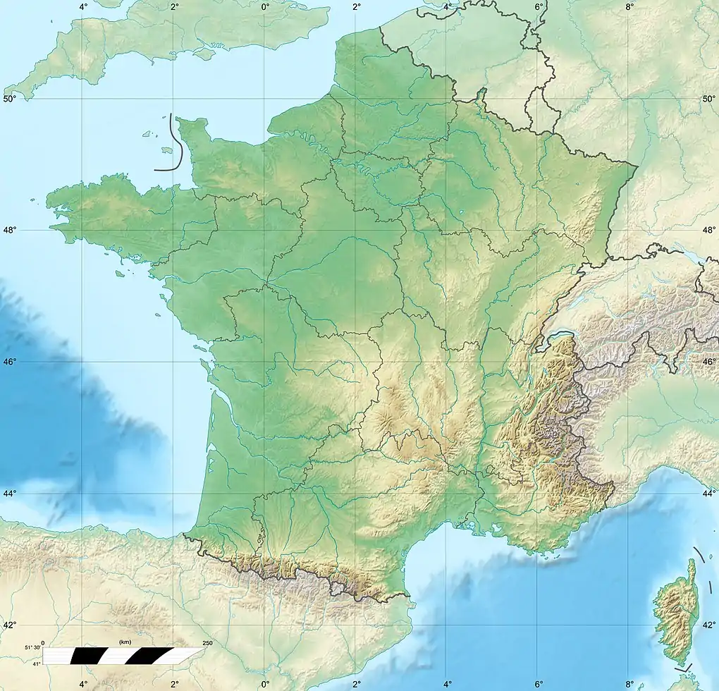
| Country | France |
| Physical characteristics | |
| Source | |
| • location | Lannemezan |
| • coordinates | 43°06′28″N 00°23′00″E / 43.10778°N 0.38333°E |
| • elevation | 615 m (2,018 ft) |
| Mouth | |
• location | Baïse |
• coordinates | 43°35′16″N 00°24′40″E / 43.58778°N 0.41111°E |
• elevation | 135 m (443 ft) |
| Length | 75.0 km (46.6 mi) |
| Basin size | 210 km2 (81 sq mi) |
| Discharge | |
| • average | 2.39 m3/s (84 cu ft/s) |
| Basin features | |
| Progression | Baïse→ Garonne→ Gironde estuary→ Atlantic Ocean |
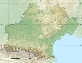
The Petite Baïse (French pronunciation: [pətit ba.iz], literally Little Baïse; Occitan: Petita Baïsa) is a 75.0 km (46.6 mi) long river in the Hautes-Pyrénées and Gers départements, southwestern France.[1] Its source is in Lannemezan, on the plateau de Lannemezan. It flows generally north. It is a right tributary of the Baïse into which it flows in l'Isle-de-Noé.
Départements and communes along its course
This list is ordered from source to mouth:
- Hautes-Pyrénées: Lannemezan, Clarens, Campistrous, Galez, Galan, Sabarros, Tournous-Devant, Vieuzos, Betpouey, Hachan, Puntous, Guizerix
- Gers: Saint-Ost, Ponsan-Soubiran, Aujan-Mournède, Viozan, Lagarde-Hachan, Sauviac, Saint-Élix-Theux, Moncassin, Belloc-Saint-Clamens, Saint-Médard, Idrac-Respaillès, Miramont-d'Astarac, Lamazère, L'Isle-de-Noé
References
This article is issued from Wikipedia. The text is licensed under Creative Commons - Attribution - Sharealike. Additional terms may apply for the media files.