Petunia, Virginia | |
|---|---|
Unincorporated community | |
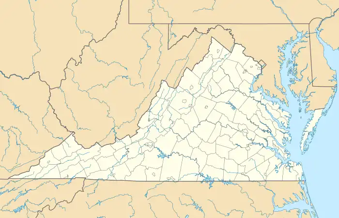 Petunia, Virginia  Petunia, Virginia | |
| Coordinates: 36°56′32″N 81°7′17″W / 36.94222°N 81.12139°W | |
| Country | United States |
| State | Virginia |
| County | Wythe |
| Elevation | 2,336 ft (712 m) |
| Time zone | UTC-5 (Eastern (EST)) |
| • Summer (DST) | UTC-4 (EDT) |
| GNIS feature ID | 1486173[1] |
Petunia is an unincorporated community in Wythe County, Virginia, United States.
References
Municipalities and communities of Wythe County, Virginia, United States | ||
|---|---|---|
| Towns | 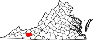 Map of Virginia highlighting Wythe County | |
| CDPs | ||
| Other communities | ||
This article is issued from Wikipedia. The text is licensed under Creative Commons - Attribution - Sharealike. Additional terms may apply for the media files.