Phathalē
ဖားတလယ် | |
|---|---|
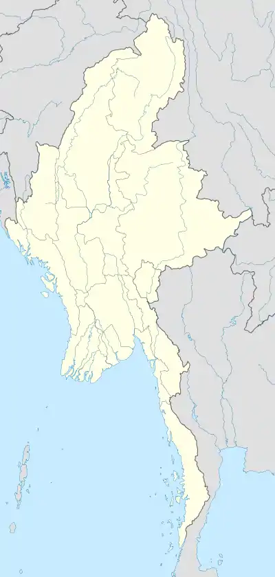 Phathalē Location of Phathalē in Myanmar | |
| Coordinates: 16°2′20″N 97°59′0″E / 16.03889°N 97.98333°E | |
| Country | |
| Division | |
| District | Kawkareik District |
| Township | Kyain Seikgyi Township |
| Population | |
| • Religions | Buddhism |
| Time zone | UTC+6.30 (MST) |
Phathalē (Burmese: ဖားတလယ် [pʰa̰dɛ̀lɛ̀]) is a village in the Kyain Seikgyi Township, Kawkareik District, Kayin State of south-eastern part of Myanmar.[1]
References
External links
- "Phathale Map — Satellite Images of Phathale" Maplandia World Gazetteer
Capital: Hpa-an | ||
| Hpa-an District |  | |
| Hpapun District | ||
| Kawkareik District | ||
| Myawaddy District | ||
| Cities and towns | ||
This article is issued from Wikipedia. The text is licensed under Creative Commons - Attribution - Sharealike. Additional terms may apply for the media files.