| Pico Jano | |
|---|---|
 Trig point on the summit | |
| Highest point | |
| Elevation | 1,446 m (4,744 ft)[1] |
| Prominence | 350 m (1,150 ft)[2] |
| Isolation | 8.39 km (5.21 mi) |
| Coordinates | 43°07′00″N 4°42′01″W / 43.11655°N 4.70041°W |
| Geography | |
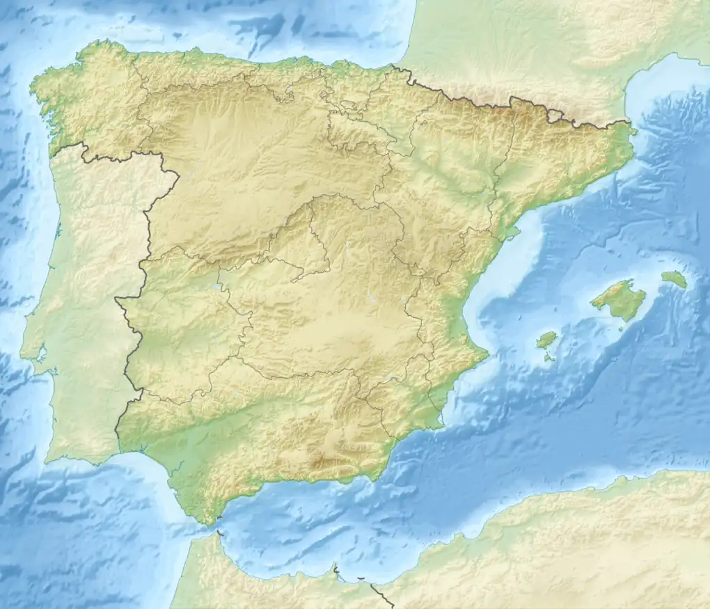 Pico Jano Location in Spain | |
| Location | Cantabria, Spain |
| Parent range | Cantabrian Mountains |
| Climbing | |
| Easiest route | foothpath from Dobarganes |
Geography

NW view of the mountain
The mountain is part of the range dividing the valleys of rivers Deva and Quiviesa.[3] Located between the municipalities of Camaleño and Vega de Liébana, both in Liébana, its highest point is occupied by a pillar used as trig point, whose base is at 1,446-metre (4,744 ft) m.[4] The mountain must not be confused with another Pico Jano close to Bárcena de Pie de Concha (1,289.7-metre (4,231 ft)).
Access to the summit
An easy and well waymarked route to Pico Jano starts from Dobarganes,[5] a village of Vega de Liébana municipality. Its length is about 4 km. The summit can also be reached by mountain bike.[6] Pico Jano offers views of Picos de Europa.[7]
References
- ↑ VV.AA. (1990). El Bosque en Cantabria (in Spanish). Ed. Universidad de Cantabria. p. 21. ISBN 9788487412165. Retrieved 2017-01-20.
- ↑ "Jano, Pico (1.446 m)" (in Spanish). Retrieved 2017-01-20.
- ↑ VV.AA. (2008). Liébana y letras (in Spanish). Ed. Universidad de Cantabria. p. 12. ISBN 9788481025095. Retrieved 2017-01-20.
- ↑ Instituto Geográfico Nacional. "Reseña Vértice Geodésico" (PDF) (in Spanish). Retrieved 2017-01-20.
- ↑ Río Calonge, Roberto. "Dobarganes-Pico Jano-Dobarganes" (in Spanish). Retrieved 2017-01-20.
- ↑ "Pico Jano" (in Spanish). 2012-03-19. Retrieved 2017-01-20.
- ↑ "Ocio Jano, La Liebana" (in Spanish). Retrieved 2017-01-20.
External links
![]() Media related to Pico Jano at Wikimedia Commons
Media related to Pico Jano at Wikimedia Commons
This article is issued from Wikipedia. The text is licensed under Creative Commons - Attribution - Sharealike. Additional terms may apply for the media files.