Pitomača | |
|---|---|
 Pitomača | |
| Coordinates: 45°57′02.16″N 17°13′45.84″E / 45.9506000°N 17.2294000°E | |
| Country | |
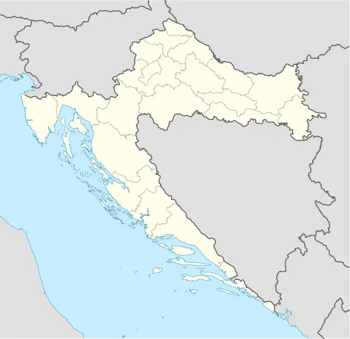
| County | Virovitica-Podravina |
| Area | |
| • Total | 158.0 km2 (61.0 sq mi) |
| Population (2021)[2] | |
| • Total | 8,402 |
| • Density | 53/km2 (140/sq mi) |
| Time zone | UTC+1 (CET) |
| • Summer (DST) | UTC+2 (CEST) |
| Website | pitomaca |
Pitomača is a municipality in Croatia in the Virovitica–Podravina County. It has a population of 10,059 (2011 census), of whom 98.62% are Croats.
History
Since the end of the Ottoman Empire until 1918, Pitomača (named PITOMACA before 1850)[3] was part of the Austrian monarchy (Kingdom of Croatia-Slavonia after the compromise of 1867), in the Croatian Military Frontier, Warasdin-St. Georgener Regiment N°VI.[4]
References
- ↑ Register of spatial units of the State Geodetic Administration of the Republic of Croatia. Wikidata Q119585703.
- ↑ "Population by Age and Sex, by Settlements, 2021 Census". Census of Population, Households and Dwellings in 2021. Zagreb: Croatian Bureau of Statistics. 2022.
- ↑ Handbook of Austria and Lombardy-Venetia Cancellations on the Postage Stamp Issues 1850-1864, by Edwin MUELLER, 1961.
- ↑ Probably until 1881.
Subdivisions of Virovitica-Podravina County | ||
|---|---|---|
| Towns |
| Coat of arms of Virovitica-Podravina County |
| Municipalities | ||
This article is issued from Wikipedia. The text is licensed under Creative Commons - Attribution - Sharealike. Additional terms may apply for the media files.