Pniel | |
|---|---|
 Pniel  Pniel | |
| Coordinates: 33°54′S 18°57′E / 33.900°S 18.950°E | |
| Country | South Africa |
| Province | Western Cape |
| District | Cape Winelands |
| Municipality | Stellenbosch |
| Area | |
| • Total | 0.59 km2 (0.23 sq mi) |
| Population (2011)[1] | |
| • Total | 1,975 |
| • Density | 3,300/km2 (8,700/sq mi) |
| Racial makeup (2011) | |
| • Black African | 1.2% |
| • Coloured | 97.7% |
| • Indian/Asian | 0.5% |
| • White | 0.5% |
| • Other | 0.3% |
| First languages (2011) | |
| • Afrikaans | 92.0% |
| • English | 6.7% |
| • Other | 1.3% |
| Time zone | UTC+2 (SAST) |
| Postal code (street) | 7681 |
| PO box | 7681 |
Pniel is a settlement in Cape Winelands District Municipality in the Western Cape province of South Africa.
It is a settlement and United Congregational Church of Southern Africa (UCCSA) mission station between Stellenbosch and Franschhoek, established in 1843. The name is of biblical origin (Genesis 32:30), referring to the place where Jacob wrestled with God; it means ‘face of God’.[2]
References
- 1 2 3 4 "Main Place Pniel". Census 2011.
- ↑ "Dictionary of Southern African Place Names (Public Domain)". Human Science Research Council. p. 369.
Municipalities and communities of Cape Winelands District Municipality, Western Cape | ||
|---|---|---|
District seat: Stellenbosch | ||
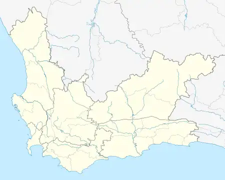
| Witzenberg | .svg.png.webp) Cape Winelands District within South Africa | |
| Drakenstein | ||
| Stellenbosch | ||
| Breede Valley | ||
| Langeberg | ||
This article is issued from Wikipedia. The text is licensed under Creative Commons - Attribution - Sharealike. Additional terms may apply for the media files.