Poko | |
|---|---|
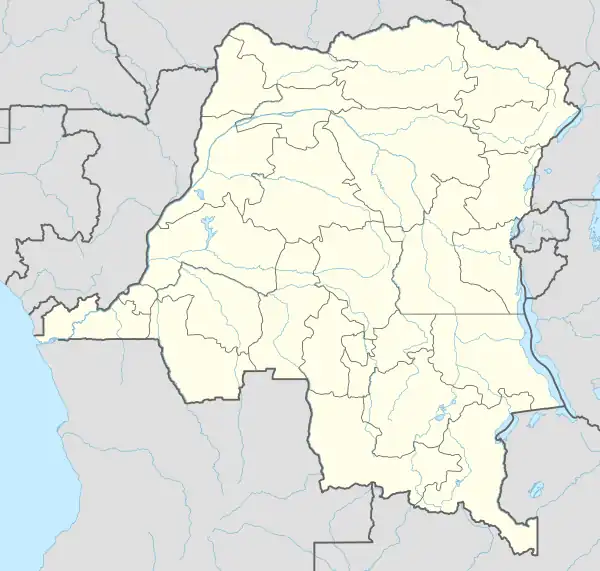 Poko Location in Democratic Republic of the Congo | |
| Coordinates: 3°06′N 26°54′E / 3.1°N 26.9°E | |
| Country | |
| Province | Bas-Uele |
| Seat | Poko |
| Area | |
| • Total | 22,909 km2 (8,845 sq mi) |
| Population (2016)[1] | |
| • Total | 436,293 |
| • Density | 19/km2 (49/sq mi) |
| Time zone | UTC+2 (Central Africa Time) |
Poko is a territory and a locality of Bas-Uele province in the Democratic Republic of the Congo.[2][3]
Composition
It is composed of 13 collectivities (Chiefdoms and sectors):
| Sector or Chiefdom | Type |
|---|---|
| Abarambo | Sector |
| Babena | Chiefdom |
| Bakengaie | Chiefdom |
| Gamu | Chiefdom |
| Kembisa | Sector |
| Kipate | Chiefdom |
| Kumendeni | Chiefdom |
| Mabanga | Chiefdom |
| Madi | Chiefdom |
| Malele | Chiefdom |
| Ngbaradi | Chiefdom |
| Soronga | Chiefdom |
| Zune | Chiefdom |
References
- 1 2 "Cellule d'Analyses des Indicateurs de Développement". caid.cd (in French). 2020-05-18. Archived from the original on 2020-05-18. Retrieved 2023-03-25.
- ↑ "Administrative Zones of the Democratic Republic of Congo (Congo Kinshasa)". statoids. April 2008. Retrieved 5 June 2018.
- ↑ "Poko". Google maps. Retrieved 5 June 2018.
This article is issued from Wikipedia. The text is licensed under Creative Commons - Attribution - Sharealike. Additional terms may apply for the media files.