Ponikiew Mała | |
|---|---|
Village | |
 Ponikiew Mała | |
| Coordinates: 52°51′52″N 21°34′34″E / 52.86444°N 21.57611°E | |
| Country | |
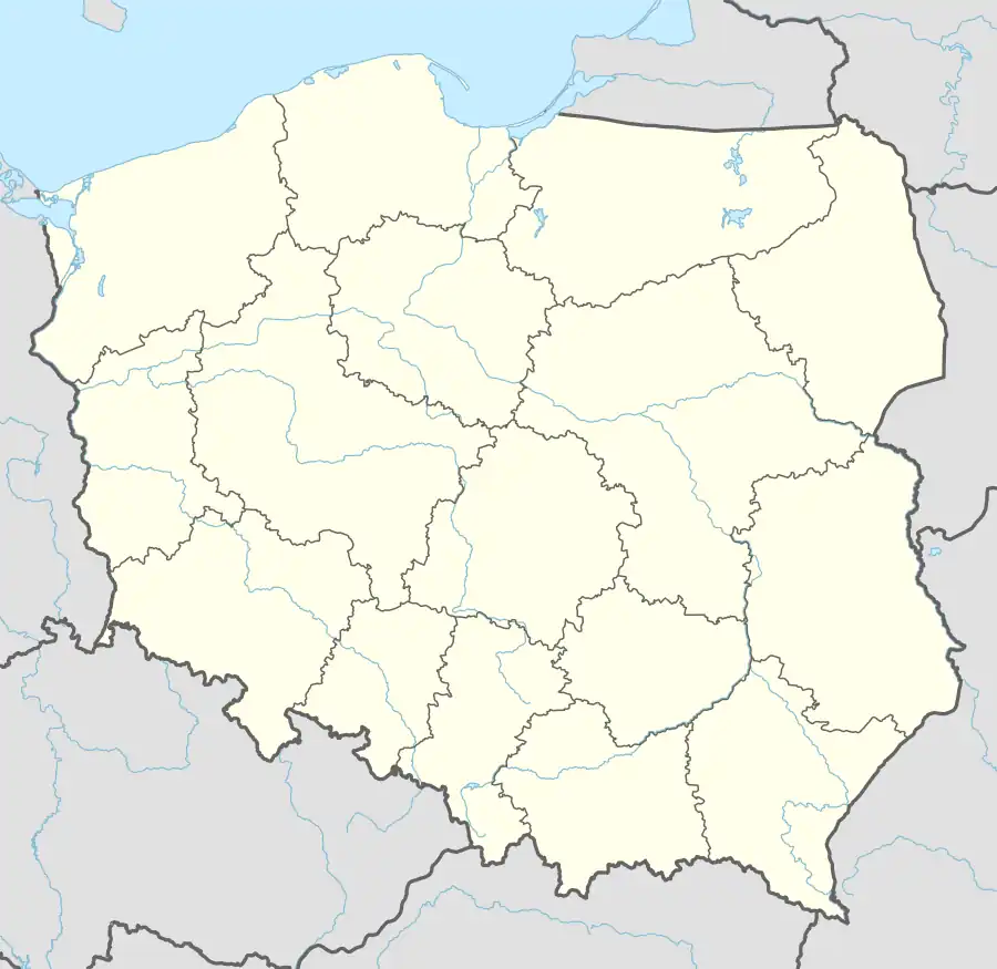
| Voivodeship | Masovian |
| County | Ostrołęka |
| Gmina | Goworowo |
Ponikiew Mała [pɔˈnikjɛf ˈmawa] is a village in the administrative district of Gmina Goworowo, within Ostrołęka County, Masovian Voivodeship, in east-central Poland.[1] It lies approximately 6 kilometres (4 mi) south of Goworowo, 25 km (16 mi) south of Ostrołęka, and 81 km (50 mi) north-east of Warsaw.
References
This article is issued from Wikipedia. The text is licensed under Creative Commons - Attribution - Sharealike. Additional terms may apply for the media files.