Ponta Baleia | |
|---|---|
Village | |
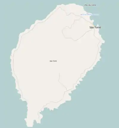 Ponta Baleia Location on São Tomé Island | |
| Coordinates: 0°02′18″N 6°32′51″E / 0.0382°N 6.5476°E | |
| Country | São Tomé and Príncipe |
| Island | São Tomé |
| District | Caué |
| Population (2012) | |
| • Total | 43 |
| Time zone | UTC+1 (WAT) |
Ponta Baleia (Portuguese for "whale point") is a headland and a settlement in the south of Caué District on São Tomé Island in São Tomé and Príncipe. Its population is 43 (2012 census).[1] The locality lies 1.5 km east of Porto Alegre and 2 km southeast of Vila Malanza. A ferry goes from Ponta Baleia to Ilhéu das Rolas.
Population history
| Year | Pop. | ±% |
|---|---|---|
| 2001[2] | 127 | — |
| 2008[2] | 145 | +14.2% |
| 2012[1] | 43 | −70.3% |
References
- 1 2 2012 detailed census São Tomé e Príncipe Archived 2019-03-27 at the Wayback Machine, Instituto Nacional de Estatística
- 1 2 "Evolução da população São-Tomense por localidades, 2001/2007-08" (PDF). Instituto Nacional de Estatística. Archived from the original (PDF) on 2017-02-09.
| Settlements |  | |
|---|---|---|
| Geographical features | ||
| Culture | ||
This article is issued from Wikipedia. The text is licensed under Creative Commons - Attribution - Sharealike. Additional terms may apply for the media files.