Portel | |
|---|---|
Municipality | |
_(5687661483).jpg.webp) | |
 Flag | |
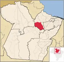 Location in the State of Pará | |
| Coordinates: 01°56′09″S 50°49′15″W / 1.93583°S 50.82083°W | |
| Country | |
| Region | North |
| State | |
| Area | |
| • Total | 25,384.779 km2 (9,801.118 sq mi) |
| Elevation | 19 m (62 ft) |
| Population (2020 [1]) | |
| • Total | 62,945 |
| • Density | 1.7/km2 (4/sq mi) |
| Time zone | UTC−3 (BRT) |
| Postal Code | 68480-000 |
| HDI | 0.483 PNUD/2010[2]> |
| GDP | R$ 440766.76[3] |
| GDP per capita | R$ 7705.04 |
Portel is a Brazilian municipality located in the state of Pará. Its population as of 2020 is estimated to be 62,945 people. The area of the municipality is 25,384.779 km². The city belongs to the mesoregion Marajó and to the microregion of Portel.
References
- ↑ IBGE 2020
- ↑ "Ranking decrescente do IDH-M dos municípios do Brasil". Atlas do Desenvolvimento Humano. Programa das Nações Unidas para o Desenvolvimento (PNUD). 2010. Retrieved 22 September 2013.
- ↑ "PIB Municipal 2010-2014". Instituto Brasileiro de Geografia e Estatística. Retrieved 1 January 2017.
This article is issued from Wikipedia. The text is licensed under Creative Commons - Attribution - Sharealike. Additional terms may apply for the media files.