Preguiça | |
|---|---|
Settlement | |
  Preguiça | |
| Coordinates: 16°33′43″N 24°16′52″W / 16.562°N 24.281°W | |
| Country | Cape Verde |
| Island | São Nicolau |
| Municipality | Ribeira Brava |
| Civil parish | Nossa Senhora do Rosário |
| Population (2010)[1] | |
| • Total | 567 |
| ID | 31224 |
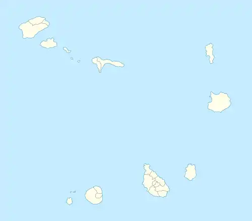
Preguiça is a settlement in the central part of the island of São Nicolau, Cape Verde. It is situated on the south coast, 6 km south of Ribeira Brava. It served as the port of Ribeira Brava, after the older Porto de Lapa, 6 km to the northeast, had been abandoned in 1653 due to pirate attacks.[2] The settlement was mentioned as Paraghisi in the 1747 map by Jacques-Nicolas Bellin.[3] In 1820 the Forte do Príncipe Real, now ruined, was built to protect the port.[4] Preguiça's port consists of a stone quay and a short mole.[5] Preguiça Airport is located 3 km north of the village.
Population history
- 2000: 465
- 2010: 567
See also
References
- ↑ "2010 Census results". Instituto Nacional de Estatística Cabo Verde (in Portuguese). 24 November 2016.
- ↑ Inventário dos recursos turísticos do município de Ribeira Brava de São Nicolau, Direcção Geral do Turismo, p. 16-17
- ↑ Jacques-Nicolas Bellin (1747). "Carte des Isles du Cap Verd = Kaart van de Eilanden van Kabo Verde" (in French).
- ↑ Recuperação do Forte da Preguiça, C. Amaro and V. Santos, IPPAR, 2002
- ↑ Sailing Directions (Enroute), Pub. 143: West Coast of Europe and Northwest Africa (PDF). Sailing Directions. United States National Geospatial-Intelligence Agency. 2017. p. 240.
The island of São Nicolau | ||||||
|---|---|---|---|---|---|---|
| Ribeira Brava |
|  | ||||
| Tarrafal de São Nicolau |
| |||||
| Mountains | ||||||
| Other topics | ||||||
This article is issued from Wikipedia. The text is licensed under Creative Commons - Attribution - Sharealike. Additional terms may apply for the media files.