Prien, Louisiana | |
|---|---|
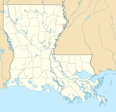 Prien, Louisiana Location of Prien in Louisiana | |
| Coordinates: 30°10′18″N 93°16′03″W / 30.17167°N 93.26750°W | |
| Country | United States |
| State | Louisiana |
| Parish | Calcasieu |
| Area | |
| • Total | 5.98 sq mi (15.48 km2) |
| • Land | 5.34 sq mi (13.84 km2) |
| • Water | 0.63 sq mi (1.64 km2) |
| Elevation | 13 ft (4 m) |
| Population (2020) | |
| • Total | 7,745 |
| • Density | 1,449.29/sq mi (559.62/km2) |
| Time zone | UTC-6 (CST) |
| • Summer (DST) | UTC-5 (CDT) |
| Area code | 337 |
| FIPS code | 22-62647 |
Prien is an unincorporated community and census-designated place (CDP) in Calcasieu Parish, Louisiana, United States. The population was 7,810 at the 2010 census.[2] It is part of the Lake Charles metropolitan statistical area. Some of the area has been annexed into the city of Lake Charles.
Geography
Prien is located at 30°10′18″N 93°16′3″W / 30.17167°N 93.26750°W (30.171700, -93.267384)[3] and consists of unincorporated land on the south side of Lake Charles. The original community of Prien is located on the southeast shore of Prien Lake, a widening in the Calcasieu River, but the CDP now extends south as far as West Gauthier Road.
According to the United States Census Bureau, the CDP has a total area of 6.6 square miles (17.2 km2), of which 6.0 square miles (15.6 km2) is land and 0.62 square miles (1.6 km2), or 9.32%, is water.[2] The area of the CDP has decreased by 1.3 square miles (3.4 km2) since the 2000 census, due to annexation of certain neighborhoods by the city of Lake Charles.
Demographics
| Census | Pop. | Note | %± |
|---|---|---|---|
| 2020 | 7,745 | — | |
| U.S. Decennial Census[4] | |||
| Race | Number | Percentage |
|---|---|---|
| White (non-Hispanic) | 5,942 | 76.72% |
| Black or African American (non-Hispanic) | 627 | 8.1% |
| Native American | 32 | 0.41% |
| Asian | 355 | 4.58% |
| Pacific Islander | 12 | 0.15% |
| Other/Mixed | 305 | 3.94% |
| Hispanic or Latino | 472 | 6.09% |
As of the 2020 United States census, there were 7,745 people, 2,999 households, and 2,284 families residing in the CDP.
References
- ↑ "2020 U.S. Gazetteer Files". United States Census Bureau. Retrieved March 20, 2022.
- 1 2 "Geographic Identifiers: 2010 Demographic Profile Data (G001): Prien CDP, Louisiana". U.S. Census Bureau, American Factfinder. Archived from the original on February 12, 2020. Retrieved August 15, 2014.
- ↑ "US Gazetteer files: 2010, 2000, and 1990". United States Census Bureau. February 12, 2011. Retrieved April 23, 2011.
- ↑ "Census of Population and Housing". Census.gov. Retrieved June 4, 2016.
- ↑ "Explore Census Data". data.census.gov. Retrieved December 29, 2021.
Municipalities and communities of Calcasieu Parish, Louisiana, United States | ||
|---|---|---|
| Cities |  | |
| Towns | ||
| CDPs | ||
| Other unincorporated communities | ||