Ptakowice | |
|---|---|
Village | |
 Portal of the Black Trout Adit in Ptakowice | |
 Coat of arms | |
 Ptakowice | |
| Coordinates: 50°25′N 18°47′E / 50.417°N 18.783°E | |
| Country | |
| Voivodeship | Silesian |
| County | Tarnowskie Góry |
| Gmina | Zbrosławice |
| Highest elevation | 360 m (1,180 ft) |
| Lowest elevation | 340 m (1,120 ft) |
| Population | 748 |
| Time zone | UTC+1 (CET) |
| • Summer (DST) | UTC+2 (CEST) |
| Vehicle registration | STA |
| Primary airport | Katowice Airport |
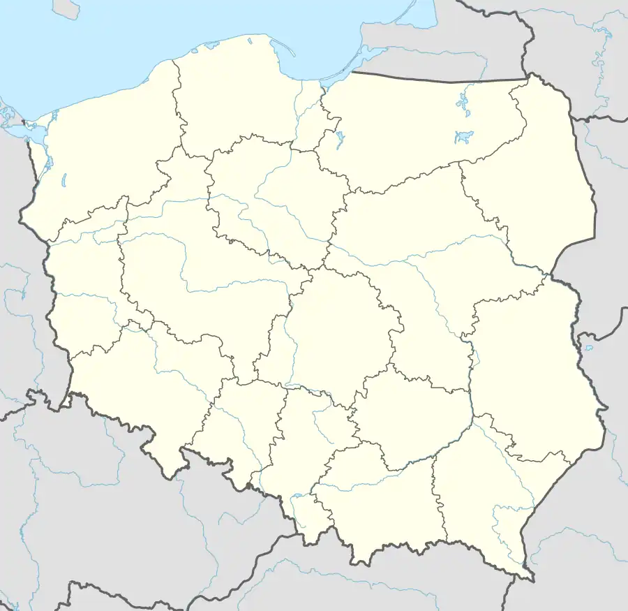
Ptakowice [ptakɔˈvit͡sɛ] is a village in the administrative district of Gmina Zbrosławice, within Tarnowskie Góry County, Silesian Voivodeship, in southern Poland.[1] It lies approximately 3 kilometres (2 mi) east of Zbrosławice, 7 km (4 mi) south-west of Tarnowskie Góry, and 25 km (16 mi) north-west of the regional capital Katowice.
The name of the village is of Polish origin and comes from the word ptak, which means "bird".[2]
The Black Trout Adit, part of the Historic Silver Mine in Tarnowskie Góry, a UNESCO World Heritage Site, is located in Ptakowice.
In 1822, calamine deposits were discovered in the village.[3] In 1861, the village had a population of 714.[3]
Transport
The A1 motorway runs nearby, south of the village.
References
- ↑ "Central Statistical Office (GUS) - TERYT (National Register of Territorial Land Apportionment Journal)" (in Polish). 2008-06-01.
- ↑ Adamy, Heinrich (1888). Die schlesischen Ortsnamen, ihre Entstehung und Bedeutung. Ein Bild aus der Vorzeit (in German). Verlag von Priebatsch's Buchhandlung. p. 61.
- 1 2 Słownik geograficzny Królestwa Polskiego i innych krajów słowiańskich, Tom IX (in Polish). Warsaw. 1888. p. 260.
{{cite book}}: CS1 maint: location missing publisher (link)
| Seat |  | |
|---|---|---|
| Other villages | ||
This article is issued from Wikipedia. The text is licensed under Creative Commons - Attribution - Sharealike. Additional terms may apply for the media files.