| Pukyu Rumi | |
|---|---|
 Pukyu Rumi Peru | |
| Highest point | |
| Elevation | 4,800 m (15,700 ft)[1] |
| Coordinates | 12°02′45″S 75°55′28″W / 12.04583°S 75.92444°W |
| Geography | |
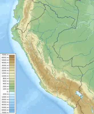
| Location | Peru, Lima Region |
| Parent range | Andes, Cordillera Central |
Pukyu Rumi (Quechua pukyu spring, well, rumi stone,[2] "spring stone", also spelled Puquiorumi) is a mountain in the Cordillera Central in the Andes of Peru which reaches a height of approximately 4,800 metres (15,748 ft). It is located in the Lima Region, Yauyos Province, on the border of the districts of Huancaya and Tanta.[1]
References
- 1 2 escale.minedu.gob.pe - UGEL map of the Yauyos Province (Lima Region)
- ↑ Teofilo Laime Ajacopa (2007). Diccionario Bilingüe: Iskay simipi yuyayk’anch: Quechua – Castellano / Castellano – Quechua (PDF). La Paz, Bolivia: futatraw.ourproject.org.
This article is issued from Wikipedia. The text is licensed under Creative Commons - Attribution - Sharealike. Additional terms may apply for the media files.