Pusztafalu | |
|---|---|
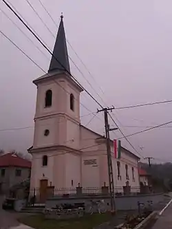 Church, Pusztafalu | |
 Flag  Seal | |
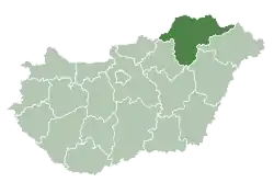
 Pusztafalu Location of Pusztafalu | |
| Coordinates: 48°32′42″N 21°29′09″E / 48.54504°N 21.48591°E | |
| Country | |
| County | Borsod-Abaúj-Zemplén |
| Area | |
| • Total | 7 km2 (3 sq mi) |
| Population (2004) | |
| • Total | 257 |
| • Density | 36.71/km2 (95.1/sq mi) |
| Time zone | UTC+1 (CET) |
| • Summer (DST) | UTC+2 (CEST) |
| Postal code | 3995 |
| Area code | 47 |
Pusztafalu is a village in Borsod-Abaúj-Zemplén county, Hungary.
External links
- Street map (in Hungarian)
This article is issued from Wikipedia. The text is licensed under Creative Commons - Attribution - Sharealike. Additional terms may apply for the media files.