Qarah Tappeh
Kara Tapa Kalan, Qara Tepe Kālan | |
|---|---|
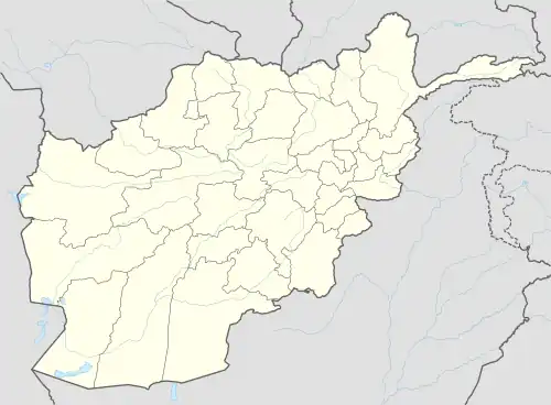 Qarah Tappeh Location in Afghanistan | |
| Coordinates: 37°14′51″N 65°38′26″E / 37.24750°N 65.64056°E | |
| Country | |
| Province | Jowzjan Province |
| District | Khamyab District |
| Elevation | 816 ft (248 m) |
| Time zone | + 4.30 |
Qarah Tappeh (also Kara Tapa Kalan and Qara Tepe Kālan) is a fortified village in southern Khamyab District, Jowzjan Province, Afghanistan. It has an altitude of 248 m. (816 ft.). It was a crossroads for goods between the Andkhoy - Khamyab (town) route and the Kerki - Akcha route.
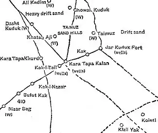
1886 map of Qarah Tappeh area
See also
| Districts | 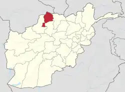 | |
|---|---|---|
| Populated places | ||
This article is issued from Wikipedia. The text is licensed under Creative Commons - Attribution - Sharealike. Additional terms may apply for the media files.