| Qillqata | |
|---|---|
  Qillqata | |
| Highest point | |
| Elevation | 3,922 m (12,867 ft)[1] |
| Coordinates | 17°03′51″S 67°29′29″W / 17.06417°S 67.49139°W |
| Geography | |
| Location | Bolivia La Paz Department, Loayza Province |
| Parent range | Andes |
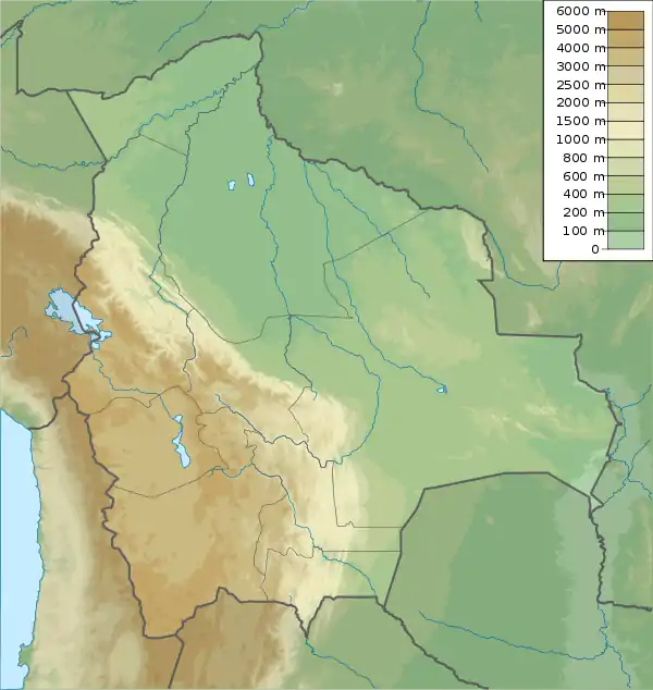
Qillqata (Aymara qillqaña to write,[2] -ta a suffix to indicate the participle, "written" or "something written", also spelled Kelkhata) is a 3,922-metre-high (12,867 ft) mountain in the Bolivian Andes. It lies in the La Paz Department, Loayza Province, Malla Municipality. Qillqata is situated south-west of Malla. The river Malla Jawira flows along its southern slopes.[1][3]
References
- 1 2 IGM map 1:50,000 6142-IV 'Yaco'
- ↑ Radio San Gabriel, "Instituto Radiofonico de Promoción Aymara" (IRPA) 1993, Republicado por Instituto de las Lenguas y Literaturas Andinas-Amazónicas (ILLLA-A) 2011, Transcripción del Vocabulario de la Lengua Aymara, P. Ludovico Bertonio 1612 (Spanish-Aymara-Aymara-Spanish dictionary)
- ↑ "Malla". INE, Bolivia. Archived from the original on October 20, 2014. Retrieved October 21, 2014. (Sellkhata)
This article is issued from Wikipedia. The text is licensed under Creative Commons - Attribution - Sharealike. Additional terms may apply for the media files.