Río Branco Airport | |||||||||||
|---|---|---|---|---|---|---|---|---|---|---|---|
| Summary | |||||||||||
| Airport type | Public | ||||||||||
| Serves | Río Branco | ||||||||||
| Elevation AMSL | 55 ft / 17 m | ||||||||||
| Coordinates | 32°34′59″S 53°27′15″W / 32.58306°S 53.45417°W | ||||||||||
| Map | |||||||||||
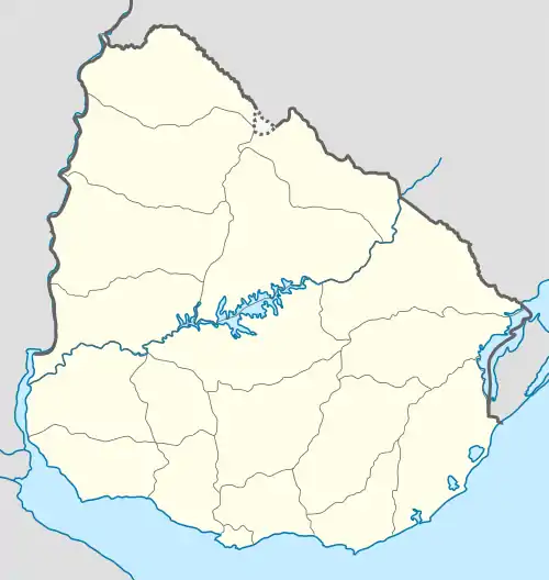 SURB Location of the airport in Uruguay | |||||||||||
| Runways | |||||||||||
| |||||||||||
Río Branco Airport (ICAO: SURB) is an airport serving the town of Río Branco in Cerro Largo Department, Uruguay. The runway is 6 kilometres (3.7 mi) west of town.
See also
References
- ↑ Airport information for SURB at Great Circle Mapper.
- ↑ Google Maps - Río Branco
External links
- HERE Maps - Río Branco
- OpenStreetMap - Río Branco
- OurAirports - Río Branco
- FallingRain - Río Branco
- Skyvector Aeronautical Charts - Río Branco
- Accident history for Jaguarao-Rio Branco Airport at Aviation Safety Network
This article is issued from Wikipedia. The text is licensed under Creative Commons - Attribution - Sharealike. Additional terms may apply for the media files.