Río Indio | |
|---|---|
 Río Indio | |
| Coordinates: 9°11′32″N 80°11′25″W / 9.1922°N 80.1903°W | |
| Country | |
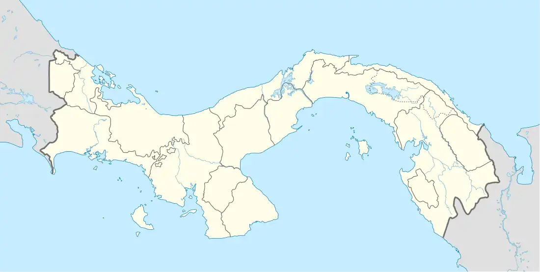
| Province | Colón |
| District | Donoso |
| Area | |
| • Land | 36.4 km2 (14.1 sq mi) |
| Population (2010)[1] | |
| • Total | 1,044 |
| • Density | 28.7/km2 (74/sq mi) |
| Population density calculated based on land area. | |
| Time zone | UTC−5 (EST) |
Río Indio is a corregimiento in Donoso District, Colón Province, Panama with a population of 1,044 as of 2010.[1] Its population as of 1990 was 963; its population as of 2000 was 974.[1]
References
- 1 2 3 4 "Cuadro 11 (Superficie, población y densidad de población en la República...)" [Table 11 (Area, population, and population density in the Republic...)] (.xls). In "Resultados Finales Básicos" [Basic Final Results] (in Spanish). National Institute of Statistics and Census of Panama. Retrieved May 26, 2015.
Capital: Colón | ||
| Chagres District | 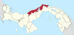 | |
| Colón District | ||
| Donoso District | ||
| Omar Torrijos Herrera District |
| |
| Portobelo District | ||
| Santa Isabel District | ||
This article is issued from Wikipedia. The text is licensed under Creative Commons - Attribution - Sharealike. Additional terms may apply for the media files.