Ramvik | |
|---|---|
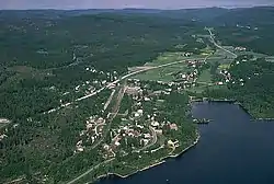 June 1988 aerial photograph of Ramvik | |
 Ramvik 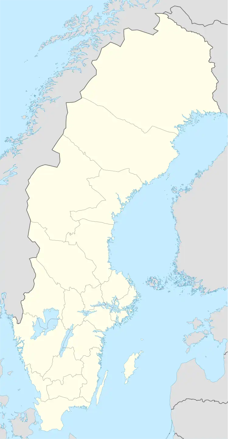 Ramvik | |
| Coordinates: 62°49′N 17°51′E / 62.817°N 17.850°E | |
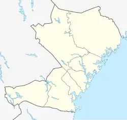
| Country | Sweden |
| Province | Ångermanland |
| County | Västernorrland County |
| Municipality | Härnösand Municipality and Kramfors Municipality |
| Area | |
| • Total | 1.89 km2 (0.73 sq mi) |
| Population (31 December 2010)[1] | |
| • Total | 691 |
| • Density | 366/km2 (950/sq mi) |
| Time zone | UTC+1 (CET) |
| • Summer (DST) | UTC+2 (CEST) |
| Climate | Dfb |
Ramvik (Swedish pronunciation: [ˈrɑ̂ːmviːk])[2] is a locality situated in Härnösand Municipality in Västernorrland County, Sweden with 691 inhabitants in 2010.[1] Before 2015, part of the locality belonged to Kramfors Municipality. Also in 2015, the urban area was divided and the northern part around Ramvik formed a small town, while the southern part around Hälledal formed a separate urban area that took over the urban area code from Ramvik.
Ramvik was the home of Swedish politician Thorbjörn Fälldin.[3]
References
- 1 2 3 "Tätorternas landareal, folkmängd och invånare per km2 2005 och 2010" (in Swedish). Statistics Sweden. 14 December 2011. Archived from the original on 27 January 2012. Retrieved 10 January 2012.
- ↑ Jöran Sahlgren; Gösta Bergman (1979). Svenska ortnamn med uttalsuppgifter (in Swedish). p. 20.
- ↑ Rolf Lunneborg, Fredrik Forsgren (16 August 2018). "Centerns landsbygdspolitik presenterad hemma hos Fälldin" (in Swedish). SVT Nyheter. Retrieved 7 August 2022.
This article is issued from Wikipedia. The text is licensed under Creative Commons - Attribution - Sharealike. Additional terms may apply for the media files.