| Rencontre Formation | |
|---|---|
| Stratigraphic range: | |
 Outcrops of the Rencontre Formation in Rencontre, NL. | |
| Type | Formation |
| Unit of | (Long Harbour Group, in some schemes - e.g. NL GeoAtlas) |
| Underlies | Chapel Island Fm[2] |
| Overlies | Long Harbour Group - volcanics - in Rencontre, Mooring Cove Formation |
| Thickness | Hundreds of metres[2] |
| Location | |
| Region | |
| Country | |
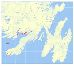 Outcrop distribution | |
The Rencontre Formation (locally pronounced Rown-Counter) is a geological formation just below the Cambrian-Ediacaran boundary in Newfoundland, deposited in a fault-bounded enclosed basin. U-Pb dates obtained just below its base give a maximum age of 552 ± 3 million years ago.
It is subdivided into five depositional phases, with two subsequent phases in a seven-phase series corresponding to the overlying Chapel Island Formation (900 m thick in this basin) and Random Formation (250 m thick in this basin).[2]
- Phase one - 300 m - conglomerate dominated, some sandstone and minor siltstones
- Phase 2 - 150 m - sands and silts
- Phase 3 - 180 m - silts and minor sands; lower silts are grey-green, glauconitic, wave-rippled and mud-cracked; upper silts becoming red
- Phase 4 - 200 m - coarse sands
- Phase 5 - greater than 200 m - arenites and red silts.
References
This article is issued from Wikipedia. The text is licensed under Creative Commons - Attribution - Sharealike. Additional terms may apply for the media files.