Rip | |
|---|---|
Village | |
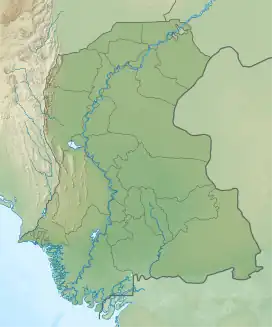 Rip Location in Sindh 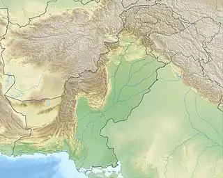 Rip Rip (Pakistan) | |
| Coordinates: 24°47′22″N 68°47′51″E / 24.789472°N 68.797387°E[1] | |
| Country | Pakistan |
| Region | Sindh |
| District | Badin |
| Population (2017)[2] | |
| • Total | 3,219 |
| Time zone | UTC+5 (PST) |
| • Summer (DST) | UTC+6 (PDT) |
Rip is a village and deh in Talher taluka of Badin District, Sindh.[3] As of 2017, it has a population of 3,219, in 678 households.[2] It is part of the tapedar circle of Morjher.[2]
References
- ↑ "GeoNames Search". geonames.nga.mil. Archived from the original on April 12, 2014. Retrieved 27 August 2023.
- 1 2 3 Population and household detail from block to tehsil level (Badin District) (PDF). 2017. p. 33. Retrieved 5 May 2021.
- ↑ "List of Dehs in Sindh" (PDF). Sindh Zameen. Retrieved 4 May 2021.
This article is issued from Wikipedia. The text is licensed under Creative Commons - Attribution - Sharealike. Additional terms may apply for the media files.