| Tiffey | |
|---|---|
 River Tiffey at Carleton Forehoe | |
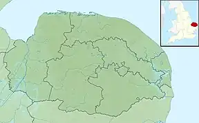 Location of the river mouth within Norfolk | |
| Location | |
| Country | England |
| Region | Norfolk |
| Physical characteristics | |
| Source | |
| • location | Ashwellthorpe |
| • coordinates | 52°32′00″N 1°08′27″E / 52.5334°N 1.1409°E |
| • elevation | 55 m (180 ft) |
| Mouth | River Yare |
• location | Barford |
• coordinates | 52°37′30″N 1°08′10″E / 52.6249°N 1.1361°E |
• elevation | 18 m (59 ft) |
| Length | 17.1 km (10.6 mi) |
| Basin features | |
| River system | River Yare |
| Tributaries | |
| • left | Bays River, Dyke Beck |
The River Tiffey is a small river in Norfolk, England and a tributary of the River Yare. It rises near Hethel and passes through Wymondham before flowing generally north-eastwards passing through Kimberley, Carleton Forehoe, Wramplingham and Barford where the Tiffey joins the River Yare.
Further reading
- History Along the Tiffey (2007) by Anne & Adrian Hoare
External links
 Media related to River Tiffey at Wikimedia Commons
- Tiffey Valley circular walk
- Tiffey Trails Project
This article is issued from Wikipedia. The text is licensed under Creative Commons - Attribution - Sharealike. Additional terms may apply for the media files.