| Roper Lake State Park | |
|---|---|
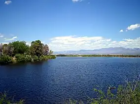 | |
 Roper Lake State Park in Arizona | |
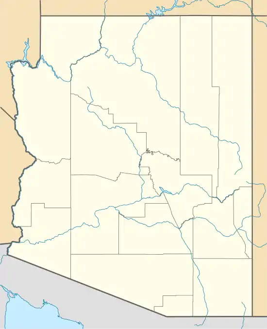
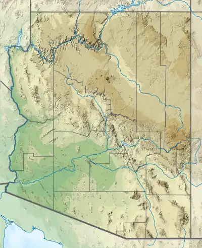
| Location | Madrean Sky Islands, Pinaleño Mountains, Arizona, United States |
| Coordinates | 32°45′21″N 109°42′17″W / 32.75583°N 109.70472°W |
| Area | 338 acres (137 ha) |
| Elevation | 3,130 ft (950 m) |
| Established | 1972 |
| Visitors | 53,433 (in 2022)[1] |
| Governing body | Arizona State Parks |
| Roper Lake | |
|---|---|
 Roper Lake | |
| Location | Graham County, Arizona, United States |
| Coordinates | 32°45′21″N 109°42′17″W / 32.75583°N 109.70472°W |
| Type | reservoir |
| Primary inflows | hot spring |
| Basin countries | United States |
| Surface area | 32 acres (13 ha) |
| Average depth | 20 ft (6.1 m) |
| Surface elevation | 3,000 ft (910 m) |
Roper Lake State Park is a state park of Arizona, surrounding 32-acre (130,000 m2) Roper Lake. The park is located off U.S. Route 191, 5 miles (8.0 km) south of Safford, at the Gila River and Valley.
The land for the park, formerly a ranch, was purchased by the state in 1972 in order to construct a reservoir.
Roper Lake State Park includes a boat ramp, a beach for swimming, a picnic area, a campground, cabins, and a hot spring. The lake is stocked with bass and trout, and boats are limited to small electric motors. Hiking trails are available, and the park is a place for birdwatching. This scenic park in southeast Arizona is in a beautiful location surrounded by the sky island Pinaleño Mountains range, including Mount Graham.
In another part of the park is Dankworth Pond, located about 3 miles (4.8 km) south. This 15-acre (61,000 m2) pond also offers fishing, a picnic area, and hiking trails.
Fish species
References
- ↑ "Monthly State Parks Visitation Report" (PDF). Arizona Office of Tourism. December 2022.
- Information and Education Division (2007), Arizona Fishin' Holes, Phoenix, AZ: Arizona Game and Fish Department
External links
- Roper Lake State Park
- Arizona Fishing Locations Map
- Arizona Boating Locations Facilities Map Archived July 16, 2008, at the Wayback Machine