Rubeho | |
|---|---|
Town and ward | |
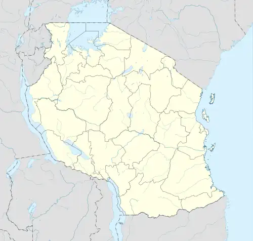 Rubeho Location in Tanzania | |
| Coordinates: 06°15′28″S 036°51′55″E / 6.25778°S 36.86528°E | |
| Country | |
| Region | Morogoro Region |
| District | Gairo District |
| Population (2002) | |
| • Total | 17,020 |
| Time zone | UTC+3 (EAT) |
| Postcode | 67702 |
Rubeho is a town[1] and ward in Gairo District in the Morogoro Region of Tanzania, East Africa.[2] As of 2002, the population of the ward was 17,020.[3] Prior to 2012, Rubeho was administered by Kilosa District.
The ward consists of a town, Rubeho, one large village, Masenge, and two rural agglomerates, Kwipipa and Kisitwi. Each of these has denominated rural areas or small villages under them.[2]
| Rubeho | Masenge | Kwipipa | Kisitwi | |||
|---|---|---|---|---|---|---|
| Mjini (town) | Masenge | Chisiga | Ititu | |||
| Chamawe | Chinolo | Mkokani | Manyemba | |||
| Ikenje | Kishambo | Ofisini | Muheza | |||
| Kichangani / Jumbadimwe | Shuleni | Shuleni |
Notes
- ↑ Rubeho (Approved) at GEOnet Names Server, United States National Geospatial-Intelligence Agency
- 1 2 "Postcodes Morogoro Region 67000" (PDF). Tanzania Communications Regulatory Authority (TCRA). 2012.
- ↑ "2002 Population and Housing General Report: Morogoro: Kilosa". Archived from the original on 20 March 2004.
This article is issued from Wikipedia. The text is licensed under Creative Commons - Attribution - Sharealike. Additional terms may apply for the media files.