Ruben Cantu Airport | |||||||||||
|---|---|---|---|---|---|---|---|---|---|---|---|
| Summary | |||||||||||
| Airport type | Military/Public | ||||||||||
| Operator | Military of Panama | ||||||||||
| Location | San Antonio, Panama, Panama | ||||||||||
| Elevation AMSL | 272 ft / 83 m | ||||||||||
| Coordinates | 8°05′10″N 80°56′43″W / 8.08611°N 80.94528°W | ||||||||||
| Map | |||||||||||
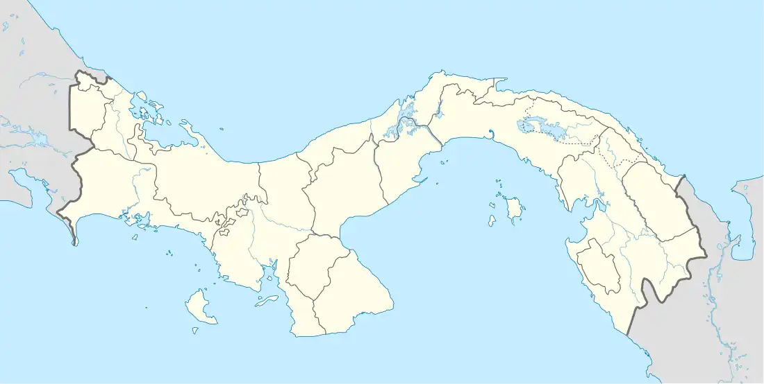 SYP Location in Panama | |||||||||||
| Runways | |||||||||||
| |||||||||||
Ruben Cantu Airport (IATA: SYP, ICAO: MPSA) is an airport serving Atalaya District, of the Veraguas Province of Panama. The airport is 2 kilometres (1 mi) southeast of the city.
See also
References
- ↑ "Airport information for Ruben Cantu Airport". World Aero Data. Archived from the original on 2019-03-05.
{{cite web}}: CS1 maint: unfit URL (link) Data current as of October 2006. - ↑ "Ruben Cantu Airport". SkyVector. Retrieved 9 November 2018.
- ↑ Airport information for Ruben Cantu Airport at Great Circle Mapper.
External links
This article is issued from Wikipedia. The text is licensed under Creative Commons - Attribution - Sharealike. Additional terms may apply for the media files.