Saffell, Arkansas | |
|---|---|
 Saffell  Saffell | |
| Coordinates: 35°55′11″N 91°17′24″W / 35.91972°N 91.29000°W | |
| Country | United States |
| State | Arkansas |
| County | Lawrence |
| Elevation | 276 ft (84 m) |
| Time zone | UTC-6 (Central (CST)) |
| • Summer (DST) | UTC-5 (CDT) |
| ZIP code | 72572 |
| Area code | 870 |
| GNIS feature ID | 58565[1] |
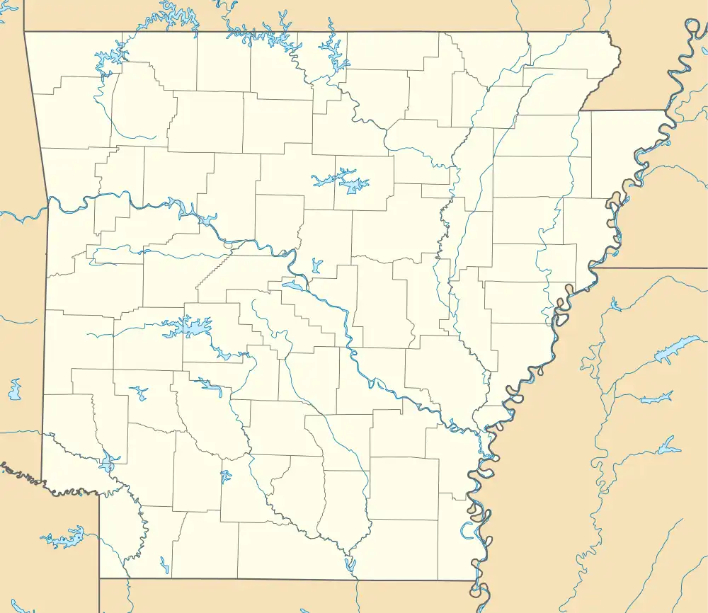
Saffell is an unincorporated community in Lawrence County, Arkansas, United States. Saffell is located at the junction of Arkansas highways 25 and 361, 3.5 miles (5.6 km) south-southeast of Strawberry. Saffell has a post office with ZIP code 72572.[2]
Education
It is within the Hillcrest School District.[3][4]
It was formerly in the Strawberry School District.[5] On July 1, 1992, that district merged into the River Valley School District, which then merged into Hillcrest on July 1, 2004.[6]
References
- 1 2 U.S. Geological Survey Geographic Names Information System: Saffell, Arkansas
- ↑ ZIP Code Lookup
- ↑ "SCHOOL DISTRICT REFERENCE MAP (2010 CENSUS): Lawrence County, AR." U.S. Census Bureau. Retrieved on May 26, 2018. For Saffel compare to the highway map.
- ↑ "General Highway Map Lawrence County, Arkansas" (PDF). Arkansas Department of Transportation. Retrieved March 6, 2021. - See Saffel on the map.
- ↑ "Arkansas Department of Education school district maps, 1952-1954 Lawrence County, 1952-1954". Arkansas Digital Archives. Arkansas State Archives. (Download)
- ↑ "ConsolidationAnnex_from_1983.xls." Arkansas Department of Education. Retrieved on October 13, 2017.
Municipalities and communities of Lawrence County, Arkansas, United States | ||
|---|---|---|
| Cities | 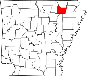 Map of Arkansas highlighting Lawrence County | |
| Towns | ||
| Other communities | ||
This article is issued from Wikipedia. The text is licensed under Creative Commons - Attribution - Sharealike. Additional terms may apply for the media files.