Sahapur | |
|---|---|
Neighborhood in Malda City | |
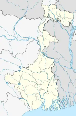 Sahapur Location in West Bengal, India  Sahapur Sahapur (India) | |
| Coordinates: 24°59′36″N 88°09′10″E / 24.99336°N 88.15276°E | |
| Country | |
| State | West Bengal |
| District | Malda |
| Area | |
| • Total | 1.8292 km2 (0.7063 sq mi) |
| Population (2011) | |
| • Total | 9,906 |
| • Density | 5,400/km2 (14,000/sq mi) |
| Languages | |
| • Official | Bengali, English |
| Time zone | UTC+5:30 (IST) |
| PIN | 732142 |
| Telephone/ STD code | 03512 |
| Vehicle registration | WB |
| Lok Sabha constituency | Maldaha Uttar |
| Vidhan Sabha constituency | Maldaha |
| Website | malda |
Sahapur is a suburb of Old Malda in Malda district of West Bengal, India.
Geography
M: municipal town, CT: census town, R: rural/ urban centre, F: Facility, H: historical centre
Owing to space constraints in the small map, the actual locations in a larger map may vary slightly
Location
Sahapur is located at 24°59′36″N 88°09′10″E / 24.99336°N 88.15276°E.
Demographics
According to the 2011 Census of India, Sahapur had a total population of 9,906, of which 5,082 (51%) were males and 4,824 (49%) were females. Population in the age range 0-6 years was 1,112. The total number of literate persons in Sahapur was 6,119 (69.58% of the population over 6 years).[1]
Infrastructure
According to the District Census Handbook, Maldah, 2011, Sahapur covered an area of 1.8292 km2. The protected water-supply involved overhead tank, tube well/ bore well, hand pump. It had 871 domestic electric connections. Among the medical facilities it had 1 dispensary/ health centre, 4 maternity and child welfare centres, 10 medicine shops. Among the educational facilities, it had 5 primary schools, 2 middle schools. Among the social, cultural and recreational facilities it had 1 orphanage home, 1 public library, 1 reading room. It produced fish, beedi, coke.[2]
References
- ↑ "District Census Handbook, Maldah , Series 20, Part XII B" (PDF). Rural PCA-C.D. blocks wise Village Primary Census Abstract, location no. 313333, page 26-27. Directorate of Census Operations West Bengal. Retrieved 12 August 2021.
- ↑ "District Census Handbook Maldah, Census of India 2011, Series 20, Part XII A" (PDF). Section II Town Directory, Pages 775-786; Statement I: Status and Growth History, Page 775; Statement III: Civic & Other Amenities, Pages 779-780; Statement IV: Medical Facilities 2009, Pages 781-782; Section V: Educational, Recreational and Cultural Facilities: Pages 783-785; Statement VI: Industry & Banking, Page 786. Directorate of Census Operations, West Bengal. Retrieved 8 August 2021.
Cities, towns and locations in Malda district, Malda division | ||||||
|---|---|---|---|---|---|---|
| Cities, municipal and census towns |
| 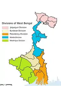 Divisions of West Bengal | ||||
| Locations other than cities and towns |
| |||||
| Neighbourhood | ||||||
| Related topics |
| |||||