Saint-Célestin | |
|---|---|
_Quebec_location_diagram.PNG.webp) Location within Nicolet-Yamaska RCM. | |
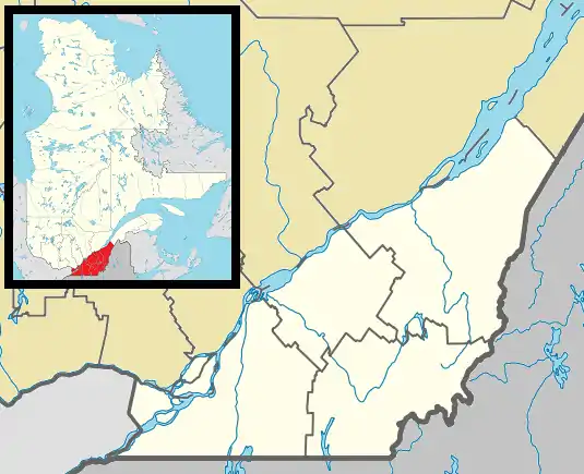 Saint-Célestin Location in southern Quebec. | |
| Coordinates: 46°13′N 72°26′W / 46.217°N 72.433°W[1] | |
| Country | |
| Province | |
| Region | Centre-du-Québec |
| RCM | Nicolet-Yamaska |
| Constituted | July 1, 1864 |
| Government | |
| • Mayor | Maurice Morin |
| • Federal riding | Bas-Richelieu— Nicolet—Bécancour |
| • Prov. riding | Nicolet-Bécancour |
| Area | |
| • Total | 77.70 km2 (30.00 sq mi) |
| • Land | 77.13 km2 (29.78 sq mi) |
| Population | |
| • Total | 575 |
| • Density | 7.5/km2 (19/sq mi) |
| • Pop 2011-2016 | |
| • Dwellings | 254 |
| Time zone | UTC−5 (EST) |
| • Summer (DST) | UTC−4 (EDT) |
| Postal code(s) | |
| Area code | 819 |
| Highways | |
| Website | www |
Saint-Célestin is a municipality in Quebec, in the Nicolet-Yamaska Regional County Municipality of the Centre-du-Québec region.
The village of Saint-Célestin is an enclave within it.
Demographics
Population
Population trend:[4]
| Census | Population | Change (%) |
|---|---|---|
| 2016 | 575 | |
| 2011 | 611 | |
| 2006 | 624 | |
| 2001 | 647 | |
| 1996 | 670 | |
| 1991 | 737 | N/A |
See also
References
- ↑ "Banque de noms de lieux du Québec: Reference number 55787". toponymie.gouv.qc.ca (in French). Commission de toponymie du Québec.
- 1 2 "Répertoire des municipalités: Geographic code 50035". www.mamh.gouv.qc.ca (in French). Ministère des Affaires municipales et de l'Habitation.
- 1 2 "Census Profile, 2016 Census - Saint-Célestin, Municipalité [Census subdivision], Quebec and Quebec [Province]". 8 February 2017.
- ↑ Statistics Canada: 1996, 2001, 2006, 2011, 2016 census
Adjacent Municipal Subdivisions | ||||||||||||||||
|---|---|---|---|---|---|---|---|---|---|---|---|---|---|---|---|---|
| ||||||||||||||||
| Cities | |
|---|---|
| Municipalities | |
| Parishes | |
| Villages | |
| |
This article is issued from Wikipedia. The text is licensed under Creative Commons - Attribution - Sharealike. Additional terms may apply for the media files.