Saint-Rémi-de-Tingwick | |
|---|---|
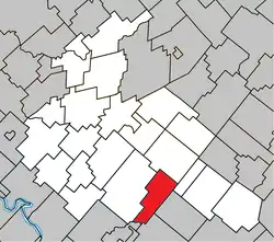 Location within Arthabaska RCM. | |
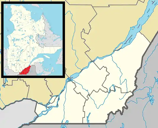 Saint-Rémi-de-Tingwick Location in southern Quebec. | |
| Coordinates: 45°52′N 71°49′W / 45.867°N 71.817°W[1] | |
| Country | |
| Province | |
| Region | Centre-du-Québec |
| RCM | Arthabaska |
| Constituted | January 1, 1882 |
| Government | |
| • Mayor | Estelle Luneau |
| • Federal riding | Richmond—Arthabaska |
| • Prov. riding | Drummond–Bois-Francs |
| Area | |
| • Total | 73.80 km2 (28.49 sq mi) |
| • Land | 73.33 km2 (28.31 sq mi) |
| Population | |
| • Total | 474 |
| • Density | 6.5/km2 (17/sq mi) |
| • Pop 2006-2011 | |
| Postal code(s) | |
| Area code | 819 |
| Highways | No major routes |
| Website | www.st-remi-de- tingwick.qc.ca |
Saint-Rémi-de-Tingwick is a municipality located in the Centre-du-Québec region of Quebec, Canada.
References
- ↑ "Banque de noms de lieux du Québec: Reference number 57573". toponymie.gouv.qc.ca (in French). Commission de toponymie du Québec.
- 1 2 "Répertoire des municipalités: Geographic code 39020". www.mamh.gouv.qc.ca (in French). Ministère des Affaires municipales et de l'Habitation.
- 1 2 "Saint-Rémi-de-Tingwick, Quebec (Code 2439020) Census Profile". 2011 census. Government of Canada - Statistics Canada.
Places adjacent to Saint-Rémi-de-Tingwick, Quebec | ||||||||||||||||
|---|---|---|---|---|---|---|---|---|---|---|---|---|---|---|---|---|
| ||||||||||||||||
| Cities | |
|---|---|
| Municipalities | |
| Parishes | |
| Townships | |
| |
This article is issued from Wikipedia. The text is licensed under Creative Commons - Attribution - Sharealike. Additional terms may apply for the media files.